
Matt Devitt
@MattDevittWX • 74,270 subscribers
Meteorologist in Florida | Penn State Meteorology | Husband & Father | Florida Born & Raised
Shorts




Videos

Interesting set-up for Florida Friday into the weekend as an upper level low comes in from the Atlantic. This low will help to usher in temperatures aloft roughly 8 - 10 degrees colder than normal. As a result, it creates greater instability and lower freezing levels...leading to more hail (and larger) along with frequent lightning and heavy rain. In short...storms will likely have an additional "kick" to them into the weekend.
Matt Devitt324,872 次观看 • 9 天前


TROPICAL UPDATE: Here's a great visual from the European Model showing vorticity or atmospheric spin. Starts disorganized and broad over western Africa and then starts to tighten up...much like a spinning ice skater would who pulls in their outstretched arms and starts to spin faster.
Matt Devitt45,630 次观看 • 1 个月前

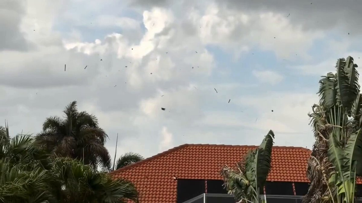
#BREAKING: New video of a (likely) tornado today at the Keystone Heights Airport, 25 miles northeast of Gainesville, Florida. Right now the National Weather Service NWS Jacksonville has this in as a funnel cloud because you technically can't see ground contact, but I suspect this will be investigated. Michael Potapow, who took the video, said he saw grass and leaves being launched up into the funnel. My vote is tornado, but the NWS has the final say. I'll keep you posted. 🌪️ #StormHour James Spann Jim Cantore
Matt Devitt73,299 次观看 • 1 个月前


LIVE RADAR: Tracking strong to severe storms sweeping across southern Florida this afternoon as of 3 PM. Gusty wind, hail and frequent lightning all possible. In fact, over 1,000+ strikes with these storms the past 15 minutes. You'll also notice the low in the Gulf near the end of the video, which now has a 20% chance of development from the NHC.
Matt Devitt26,905 次观看 • 26 天前


UPDATE: Line of storms will move through Florida on Thursday. If strong to severe storms occur, greater chance would in the morning for the Panhandle. Can't rule out an isolated tornado. It'll be a fast-moving line, so I would keep rain expectations reasonable. Most will be below 0.50 - 1". Few isolated 1" totals in stronger cells. I'll continue to provide updates throughout the day.
Matt Devitt70,754 次观看 • 6 个月前


SAHARAN DUST IS HERE! 🏜️🐪 The largest plumes of the year move in today for Florida and the Gulf Coast and will continue into next week. The dust can weaken or suppress tropical activity in impacted areas, bring vibrant sunrises and sunsets, but also bring unhealthy air quality if thick enough.
Matt Devitt29,653 次观看 • 2 个月前