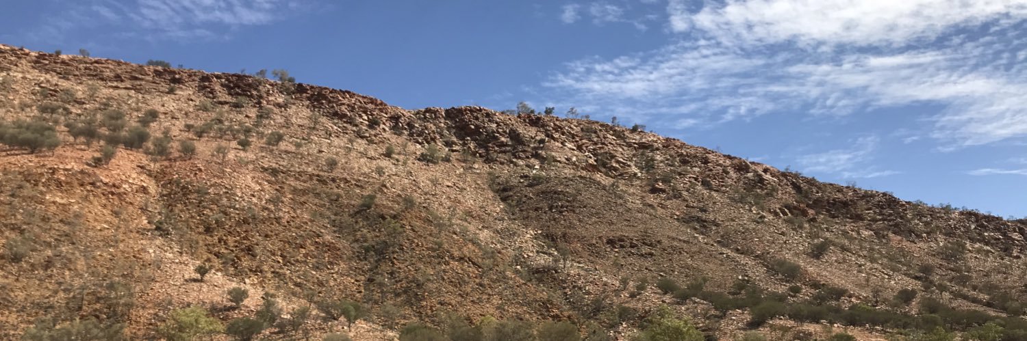
Geologist in central Australia. 🇺🇸 in 🇦🇺 https://t.co/fvuMPMPayp
Shorts
Drone survey from central Australia consisting of 349 photos from a DJI Mavic Air 2. Digital elevation model and stitched image created with Maps Made Easy. Topographic contours made with QGIS. Flyover created with the rayshader package in Rstats