
FireMap.live 🔥🌎
@disaster_db • 9,077 subscribers
Real-time wildfire data at your fingertips 🌍 | Visualize global wildfire activity instantly 🔥
Videos


Newest perimeter for the #OldTrailsFire covers a big residential section of northwest Spokane. Hoping the losses end up far smaller than the map suggests. Thinking of everyone who evacuated, and grateful for the crews working this fire in brutal conditions.
FireMap.live 🔥🌎74,777 Aufrufe • vor 2 Monaten



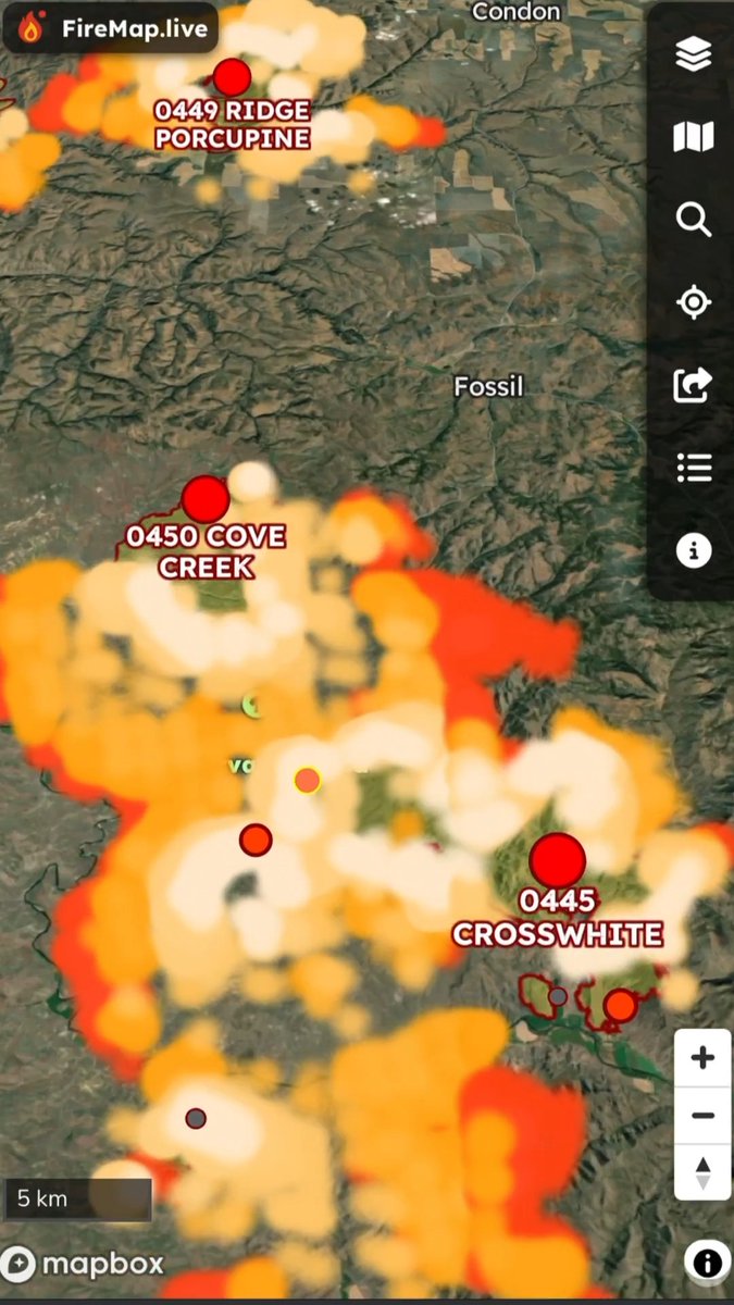


Bald Range showing heat on the north and south flanks and near the western ignition. At least 15,590 ha and still out of control. New start east of Okanagan Lake, light detections on Quilpituk fire. Heavy ground-level smoke region-wide. Next good satellite pass is ~10 hours out. #kelowna #penticton
FireMap.live 🔥🌎14,233 Aufrufe • vor 1 Monat
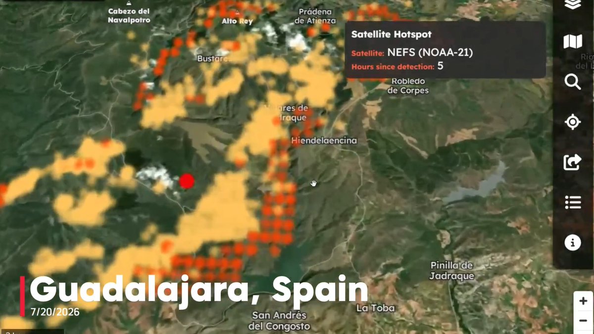
New satellite hotspots mapped on FireMap for #IFLaMierla as flames crest the Sierra del Alto Rey in Guadalajara, seen here in the pre-dawn hours. Now 16,000+ ha — the largest fire in the province's history. Copernicus perimeter will go live once available. #España 📷 J. Castañón
FireMap.live 🔥🌎17,368 Aufrufe • vor 2 Monaten

A run through BC’s biggest fires: Fiftynine Creek, French Bar Creek and Bonanza Creek, Ainslie Creek, and Bald Range at Summerland. A provincial state of emergency was declared today. The heaviest ground smoke on the model sits near Kootenay and the Rockies.
FireMap.live 🔥🌎12,250 Aufrufe • vor 1 Monat

Keine weiteren Inhalte verfügbar