
Google Earth
@googleearth • 1,115,966 subscribers
Discover geospatial datasets and tools, AI capabilities, and planetary-scale insights from Google Earth, Google Earth Engine and Google Maps Platform
Shorts


Videos

Prepare for takeoff. ✈️ Flight simulator is now available globally on web to all users. We've recently added many our most powerful professional desktop features to web. Elevation profiles, new import types, but there's always been one other feature you've been asking us to add to the web version of Google Earth, just for fun... Where will you fly? Share your best maneuvers, views, and flyovers with us!
Google Earth9,684,727 görüntüleme • 1 ay önce

Today, we’re thrilled to announce the launch of Shapefile and 3D model import support on Google Earth. Plus, we’ve also added elevation profiles to the measure tool just for… good measure! You’ve made it clear. You want to be able to bring more of your data and models to Google Earth’s real-world canvas. We're excited to take the next step in delivering on that promise with these new features: 🔶 Shapefiles (SHP): Render industry-standard geospatial data as performant, cloud-native layers. 💡 3D Models (GLB): Place custom architectural mock-ups, massings, and more in a visually rich context. 🗻 Elevation Profiles: View detailed terrain data in the measure tool you already know and love. These new features are live now on Google Earth!
Google Earth324,850 görüntüleme • 2 ay önce

Shapefiles have officially landed on Earth. By simply uploading a .zip file, you can render features and attributes as flexible, cloud-native data layers. This is the ultimate silo-breaker for professionals who need to combine local zoning data, property boundaries, and more to get a complete geospatial picture. Add your first Shapefile to Google Earth now.
Google Earth170,675 görüntüleme • 2 ay önce

Acquiring foundational site details usually means traveling to sites, finding utility access points, and tracking down disparate data sources. Google Earth is changing the way professionals work. New AI-powered data layers in Google Earth pull from billions of Google Street View images to map infrastructure assets like fire hydrants, storm drains, and more. Plus, when combined with new building footprints and land parcels you have powerful, time-saving data a click away. Inspecting utility access and site constraints from anywhere is now even easier with Google Earth. These layers are now available for Professional & Professional Advanced customers on web and Android, with coverage expanding over the coming weeks.
Google Earth76,341 görüntüleme • 1 ay önce

.Google DeepMind is powering a new agricultural landscape understanding layer in Google Earth for portions of the Asia-Pacific region to bring powerful data to our iconic imagery. Leveraging machine learning and satellite imagery, this data layer is able to visualize the ""atomic units"" of agriculture: individual field boundaries. This model doesn't just delineate fields; it determines acreage and identifies critical landscape elements like water bodies and vegetation. Use these granular insights to: ✅ Calculate specific acreage. ✅ Identify water resources for drought contingency planning. ✅ Deliver insights at the farm level, not just the regional level. Go from regional aggregates to atomic units. Get the insights that inspire action. #GoogleEarth #GoogleDeepMind #AI
Google Earth231,429 görüntüleme • 5 ay önce

Introducing new data layers for building footprints, land parcels, and AI powered layers that spot infrastructure assets from Street View imagery. Try these new layers now ➡️ With information right at your fingertips you can spend less time combining data, manually identifying assets, and combing through imagery. These premium layers are now available for Professional & Professional Advanced customers on web and Android.
Google Earth31,004 görüntüleme • 1 ay önce

Planning irrigation and tractor routes without precise terrain data creates severe operational hazards. Google Earth now generates elevation profiles straight from the measure tool. Agricultural professionals can instantly map management zones, identify natural bowls prone to flooding, and flag rollover hazards for heavy machinery. This spatial intelligence ensures your crop placement is optimized and your crew saves time.
Google Earth35,397 görüntüleme • 2 ay önce


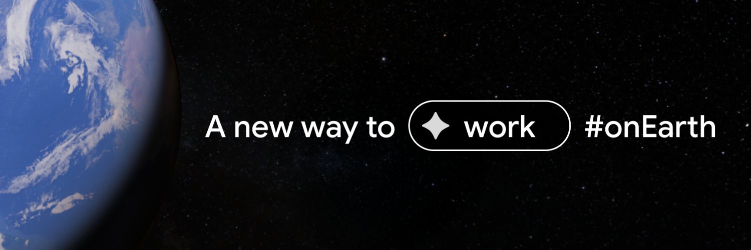
There's a whole new way to work on Earth. 🌎 Combining iconic imagery with professional-grade data, no-code tools, and Gemini capabilities, Google Earth empowers professionals to validate reality remotely, de-risk projects early, and make better, faster decisions. For decades users across the world have trusted Google Earth’s ground-breaking imagery of the real world. In today’s world, decisions are moving faster than traditional analysis can keep up. Google Earth is evolving to meet this challenge and save you time at work.
Google Earth32,727 görüntüleme • 3 ay önce

We are proud to announce that Google Earth’s data layer coverage has expanded globally 🌍 Learn more 👉 Every high-stakes project happens somewhere. But getting context about that "somewhere" shouldn't require a scavenger hunt. 🌍 Today, we're bringing massive data improvements to Google Earth so you can stop wrangling data and start making decisions: 1️⃣ Global data layer expansion 2️⃣ Google Earth Engine raster data layers 3️⃣ Ask Google Earth data layer integration (Note: Ask Google Earth is currently in Experimental for US web users)
Google Earth34,968 görüntüleme • 4 ay önce

Urban planners spend hours wrangling GIS data for stakeholder presentation, analysis, and reviews. Unify your city planning data in Google Earth with new SHP imports. Securely combine zoning data, environmental constraints, and property boundaries as performant, cloud-native data layers to create a single source of truth for your entire team. Upload your SHP files to Google Earth today.
Google Earth20,526 görüntüleme • 2 ay önce

Costly delays happen when steep slopes surprise your crew after you’ve already deployed a team. Spot logistical hazards early with Google Earth's new elevation profiles. Construction teams can now simply draw a line to visualize elevation profiles. Mitigating these risks before deploying teams keeps you on schedule and on budget.
Google Earth16,901 görüntüleme • 2 ay önce

Support land management decisions from every angle. 🌍 Conservation requires more than just a list of species — it requires a view of the entire ecosystem and its health. Now, you can import your own shapefiles directly into Google Earth to see how information like water quality, biodiversity, habitats, wildlife corridors, and protected lands intersect. Visualize the ecosystem condition of your project sites in 3D and turn complex data into a story that moves stakeholders to action. #GoogleEarth #Conservation #EnvironmentalData #Sustainability #Nature #GIS #ConservationGIS #LandTrust
Google Earth15,757 görüntüleme • 2 ay önce

For 20 years, you’ve used Google Earth to understand our planet. 2025 was the year you used our new professional tools to change it. 🌍 This year, we launched the tools to help you work #onEarth: 📂 Earth Data Catalog: You accessed rich data layers like zoning, terrain, solar, and more. 🤖 Ask Google Earth: You turned natural language into insight with Gemini. ⏳ Historical Street View: You looked back in time to validate ground truth. 💼 Professional Plans: You unlocked a powerful new canvas for your team. Thank you for an amazing year #onEarth. #GoogleEarth #GeospatialAI #2025Recap #GIS
Google Earth36,699 görüntüleme • 6 ay önce

See your data on Google Earth's real-world canvas. You can now import large-scale KML and GeoJSON datasets—up to billions of features—directly into Google Earth. Don’t just view your data; validate it against reality. Customize styling, create custom data layers, and uncover new insights to create visualizations that drive decisions. Take advantage of increased storage and file size quotas in our professional plans to securely overlay your proprietary intelligence atop our trusted imagery and data layers to create a single source of truth.
Google Earth25,901 görüntüleme • 6 ay önce


Reliable data is the foundation of geospatial work. But gathering it shouldn't require expensive, time-consuming site visits. ⏱️ Google Earth’s data layers just went global. We’ve massively expanded access to geospatial data with global coverage of popular layers and adding entirely new data layers: 🌊 Inundation history (1999-2020) 🚴 Global cycling trip percentages ⛰️ 20m elevation contours Explore these new data layers, now. 👉
Google Earth17,125 görüntüleme • 3 ay önce

Beautiful new raster data layers are now available on Google Earth’s intuitive, no-code canvas. 🗺️👉 With the analytical power of Google Earth Engine directly integrated into Google Earth, geospatial analysis is as easy as point and click. Rolling out over the coming days, you will have access to ten new raster layers from Earth Engine's iconic data catalog, including: • Slope • Aspect • Land cover • and more It's never been easier to quickly combine raster data, vector data, imagery, and your own data to save time and make better decisions. Explore these new data layers, now.
Google Earth15,497 görüntüleme • 3 ay önce
