
Josh Morgerman's banner
Josh Morgerman's profile picture

Josh Morgerman

@iCyclone231,538 subscribers

Hardcore hurricane chaser. Mississippi transplant. Harvard man. Righteous Bay Rat. The #HurricaneMan. Jamaican name: Mawgaman!

Shorts

I'm back home after hunting #EDOUARD—an odd little storm. I don't chase tropical storms, generally. It's just not my thing, because I get turned on by wind, not water. But there was always the *chance* EDOUARD would become a #hurricane. As several computer models predicted, the tiny cyclone did strengthen significantly *just* before landfall, crossing the coast with an estimated intensity of 50 knots—but fortunately, it just didn't have enough time to become a hurricane. Still, it was a spicy little system that packed a punch in the SW corner of #Louisiana and the industrial cities SE #Texas. Me: I started in Sabine Pass, TX—then drove across the state line into Louisiana to get into the calm center (what we'd call an eye if it were a hurricane) as it hit land. My location at landfall: a gas station on Highway 82 (29.7646N 93.7564W). I measured 999.6 mb at 2:36 pm CDT, but it's possible there was lower pressure before or after the time I was taking readings in that spot. Crossing back into Texas, I drove back into the W "eyewall" as I entered the S outskirts of Port Arthur, hitting extremely heavy rain and big gusts. The ships in the canal sat stoically in the gloom, like sleeping dinosaurs—seemingly unbothered by the atmospheric theatrics—but I noticed wind-driven waves from Sabine Lake jumping up onto waterfront lawns as I crept up the highway. I soon got back into the calm eye feature, which I "surfed" as I drove N through the city. I went through Downtown Port Arthur when the exact center of the storm passed over it. The rain had stopped, but the sky was very dark on the horizon, and the traffic lights swung angrily in the gusts. Heading NE to Orange and then E on I-10, I hit one last *extremely* heavy outer rainband near Lake Charles—rain so heavy I almost pulled over, because I couldn’t see. But that was the very outer edge of this tiny storm: once I cleared that rainband, conditions instantly improved, the road dried, and I enjoyed fair weather all the way back to Mississippi. EDOUARD was a compact, self-contained little thing. Here are just some images and moments from the day.

I'm back home after hunting #EDOUARD—an odd little storm. I don't chase tropical storms, generally. It's just not my thing, because I get turned on by wind, not water. But there was always the *chance* EDOUARD would become a #hurricane. As several computer models predicted, the tiny cyclone did strengthen significantly *just* before landfall, crossing the coast with an estimated intensity of 50 knots—but fortunately, it just didn't have enough time to become a hurricane. Still, it was a spicy little system that packed a punch in the SW corner of #Louisiana and the industrial cities SE #Texas. Me: I started in Sabine Pass, TX—then drove across the state line into Louisiana to get into the calm center (what we'd call an eye if it were a hurricane) as it hit land. My location at landfall: a gas station on Highway 82 (29.7646N 93.7564W). I measured 999.6 mb at 2:36 pm CDT, but it's possible there was lower pressure before or after the time I was taking readings in that spot. Crossing back into Texas, I drove back into the W "eyewall" as I entered the S outskirts of Port Arthur, hitting extremely heavy rain and big gusts. The ships in the canal sat stoically in the gloom, like sleeping dinosaurs—seemingly unbothered by the atmospheric theatrics—but I noticed wind-driven waves from Sabine Lake jumping up onto waterfront lawns as I crept up the highway. I soon got back into the calm eye feature, which I "surfed" as I drove N through the city. I went through Downtown Port Arthur when the exact center of the storm passed over it. The rain had stopped, but the sky was very dark on the horizon, and the traffic lights swung angrily in the gusts. Heading NE to Orange and then E on I-10, I hit one last *extremely* heavy outer rainband near Lake Charles—rain so heavy I almost pulled over, because I couldn’t see. But that was the very outer edge of this tiny storm: once I cleared that rainband, conditions instantly improved, the road dried, and I enjoyed fair weather all the way back to Mississippi. EDOUARD was a compact, self-contained little thing. Here are just some images and moments from the day.

27,258 görüntüleme

Update from Na'alehu near the S tip of the Big Island of #Hawaii. The core of #Hurricane #LALA is just offshore.

Update from Na'alehu near the S tip of the Big Island of #Hawaii. The core of #Hurricane #LALA is just offshore.

65,522 görüntüleme

Four moments from my #Hurricane #LALA chase in the Big Island of #Hawaii: * In the parking lot of Green Sand Beach, 0.7 n mi NE of South Point, as the hurricane’s center made its closest approach the S tip of the Big Island. * Horses out on the highway, fending for themselves in the storm. * The drive back up Highway 11, along the island’s W coast, was treacherous. * A normal spectacular view of the Pacific was turbulent and windswept as Hurricane LALA’s center passed just offshore. This is a scenic point on Highway 11.

Four moments from my #Hurricane #LALA chase in the Big Island of #Hawaii: * In the parking lot of Green Sand Beach, 0.7 n mi NE of South Point, as the hurricane’s center made its closest approach the S tip of the Big Island. * Horses out on the highway, fending for themselves in the storm. * The drive back up Highway 11, along the island’s W coast, was treacherous. * A normal spectacular view of the Pacific was turbulent and windswept as Hurricane LALA’s center passed just offshore. This is a scenic point on Highway 11.

54,049 görüntüleme

View from Haleokane Lookout, near the S tip of the Big Island of #Hawaii, as #Hurricane #LALA closes in.

View from Haleokane Lookout, near the S tip of the Big Island of #Hawaii, as #Hurricane #LALA closes in.

31,966 görüntüleme

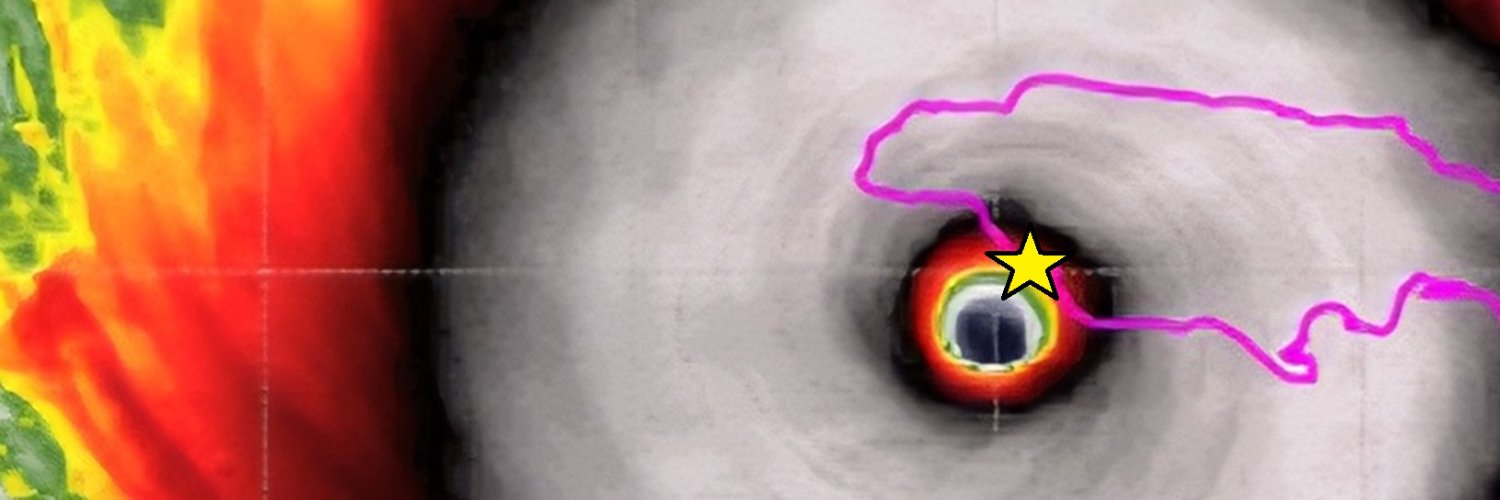
NEW! Here's Cat-5 #Hurricane #MELISSA's #Jamaica landfall as captured on Cayman Islands radar. These images did not exist until a few days ago, when b e n 🥀✟ ✟ & team at CINWS processed the data. This is at the very edge of the radar range—the radar site is over 200 mi away—& it's quite attenuated. Even so, this gives us a second complete look at that intense (160-knot) eyewall screaming ashore. The star indicates my location, scraping along the right edge of the eye. An absolutely ferocious storm that remains burned in my mind.

NEW! Here's Cat-5 #Hurricane #MELISSA's #Jamaica landfall as captured on Cayman Islands radar. These images did not exist until a few days ago, when b e n 🥀✟ ✟ & team at CINWS processed the data. This is at the very edge of the radar range—the radar site is over 200 mi away—& it's quite attenuated. Even so, this gives us a second complete look at that intense (160-knot) eyewall screaming ashore. The star indicates my location, scraping along the right edge of the eye. An absolutely ferocious storm that remains burned in my mind.

75,787 görüntüleme

8:30 am. Tempted to go out on roof, but opening door could lead to serious damage & would be irresponsible. Trying to decide where to ride out #typhoon. I think lobby's gonna get interesting in eyewall, & it'd be magical to view eye from highrise. So I'm hesitant to leave.

8:30 am. Tempted to go out on roof, but opening door could lead to serious damage & would be irresponsible. Trying to decide where to ride out #typhoon. I think lobby's gonna get interesting in eyewall, & it'd be magical to view eye from highrise. So I'm hesitant to leave.

229,798 görüntüleme

My hotel on Hailing Island was damaged by #Typhoon #RAGASA's explosive gusts. But what struck me was the almost complete mowing down of trees on certain parts of the property—like this one. By the time the eye arrived, barely a tree was left standing in this shady, green plaza.

My hotel on Hailing Island was damaged by #Typhoon #RAGASA's explosive gusts. But what struck me was the almost complete mowing down of trees on certain parts of the property—like this one. By the time the eye arrived, barely a tree was left standing in this shady, green plaza.

111,703 görüntüleme

Early today, an apparent #tornado—with distinct radar signature—formed near Slidell #Louisiana & then crossed the river into #Mississippi. My neighbors Schelly & Jay Gillen have a house in Pearlington, & they caught the action as the rain-wrapped storm arrived on the Mississippi side of the river. #ARTHUR

Early today, an apparent #tornado—with distinct radar signature—formed near Slidell #Louisiana & then crossed the river into #Mississippi. My neighbors Schelly & Jay Gillen have a house in Pearlington, & they caught the action as the rain-wrapped storm arrived on the Mississippi side of the river. #ARTHUR

22,124 görüntüleme

Woke up to this strange view. The window above my bed. Bay Saint Louis, Mississippi.

Woke up to this strange view. The window above my bed. Bay Saint Louis, Mississippi.

63,854 görüntüleme

Oldie But Goodie. On a scale of 1 to 10, how sexy is this? 11? 12?

Oldie But Goodie. On a scale of 1 to 10, how sexy is this? 11? 12?

21,648 görüntüleme

Videos

iCyclone's profile picture

I'm back home after hunting #EDOUARD—an odd little storm. I don't chase tropical storms, generally. It's just not my thing, because I get turned on by wind, not water. But there was always the *chance* EDOUARD would become a #hurricane. As several computer models predicted, the tiny cyclone did strengthen significantly *just* before landfall, crossing the coast with an estimated intensity of 50 knots—but fortunately, it just didn't have enough time to become a hurricane. Still, it was a spicy little system that packed a punch in the SW corner of #Louisiana and the industrial cities SE #Texas. Me: I started in Sabine Pass, TX—then drove across the state line into Louisiana to get into the calm center (what we'd call an eye if it were a hurricane) as it hit land. My location at landfall: a gas station on Highway 82 (29.7646N 93.7564W). I measured 999.6 mb at 2:36 pm CDT, but it's possible there was lower pressure before or after the time I was taking readings in that spot. Crossing back into Texas, I drove back into the W "eyewall" as I entered the S outskirts of Port Arthur, hitting extremely heavy rain and big gusts. The ships in the canal sat stoically in the gloom, like sleeping dinosaurs—seemingly unbothered by the atmospheric theatrics—but I noticed wind-driven waves from Sabine Lake jumping up onto waterfront lawns as I crept up the highway. I soon got back into the calm eye feature, which I "surfed" as I drove N through the city. I went through Downtown Port Arthur when the exact center of the storm passed over it. The rain had stopped, but the sky was very dark on the horizon, and the traffic lights swung angrily in the gusts. Heading NE to Orange and then E on I-10, I hit one last *extremely* heavy outer rainband near Lake Charles—rain so heavy I almost pulled over, because I couldn’t see. But that was the very outer edge of this tiny storm: once I cleared that rainband, conditions instantly improved, the road dried, and I enjoyed fair weather all the way back to Mississippi. EDOUARD was a compact, self-contained little thing. Here are just some images and moments from the day.

Josh Morgerman

27,258 görüntüleme • 2 gün önce