
MyRadar Weather
@MyRadarWX • 144,098 subscribers
Keeping you ahead of the storm since 2008. Download for FREE!
Shorts


Videos


The remnants of Typhoon Bavi are causing significant torrential rains and flooding in eastern and southeast China, forcing the evacuation of 2 million people. This comes a week after Maysak’s remnants brought heavy rain and deadly tornadoes. Matthew Cappucci discussed on DW:
MyRadar Weather19,067 views • 9 days ago

The National Weather Service weather balloon crisis continues, with nearly a third of the Lower 48 missing 12Z (sunrise) observations. (Some are being pushed back 6 hours.) Senior meteorologist Matthew Cappucci made an appearance on FOX 5 DC to break down the nuance of this issue:
MyRadar Weather28,733 views • 23 days ago

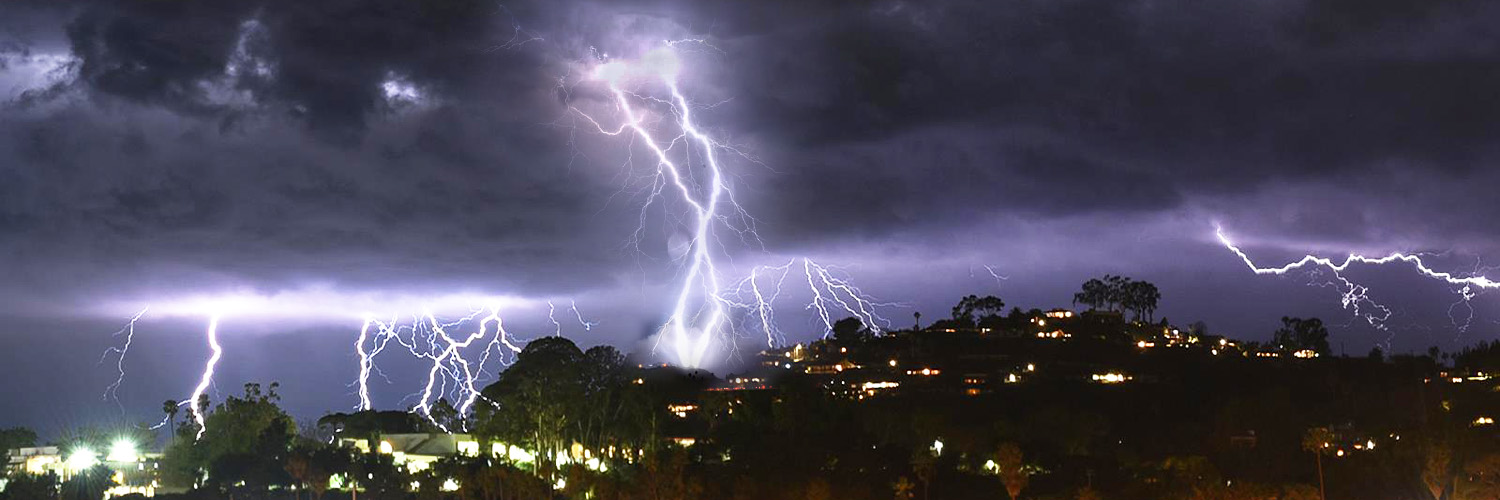
Minden, Iowa got sideswiped on the SE side by a violent #tornado. Jordan Hall #iawx
MyRadar Weather660,656 views • 2 years ago
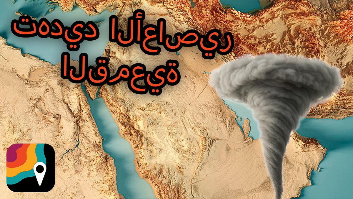
قد يشهد يوم الخميس عواصف رعدية قوية محليًا في الشرق الأوسط. من المحتمل هطول أمطار غزيرة تؤدي إلى فيضانات. كما توجد فرصة لتساقط البَرَد أو حدوث عواصف غبارية أيضًا. هناك احتمال ضعيف جدًا لحدوث أعاصير قمعية. يشرح عالم الأرصاد Matthew Cappucci هذا النمط الجوي غير الاعتيادي.
MyRadar Weather114,235 views • 3 months ago

LOOK AT THESE! You've probably never heard of "mesovortices," but the eyes of major/intensifying hurricanes, like Category 5 Melissa, actually contain addition, smaller whirls a few miles across. Mesovortices are a few miles across; they form as a way to balance an extreme discontinuity in angular momentum. In the buzzsaw-like eyewall – that ring of winds spiraling around the eye – there's an incredible amount of extreme wind and "angular momentum." But in the eye, there's hardly any – the air is calm. That means the eyewall "chafes" against the calm eye. Since the atmosphere is a fluid, that chafing pinches off into eddies and vortices. Think about when you're kayaking or canoeing through a pond. You might notice a few whirlpools shedding off your oar as the moving oar sweeps through the stationary water. A similar premise exists here. In this case, the atmosphere handles the transition from the eyewall to the eye by having some of the fluid "curl back" on itself, forming 4, 5 to 6 smaller "mesovortices." This eye exhibited a "wavenumber 5" pattern, meaning there were five mesovortices. The mesovortices often contort the inner edge of the eyewall into a wonky "sawtooth" pattern. That means that, if you stand right near the interface, you'd have about 5 minutes of "in... out... in... out" where, despite being basically in the eye, ebbs of the eyewall could still swing through and bring you a sudden, extreme gust. Welcome to the magic of fluid dynamics in the atmosphere.
MyRadar Weather198,950 views • 8 months ago

On May 20, 2013, 13 years ago, this incredibly sobering audio was being blast across TV and radio stations across McClain, Oklahoma and Cleveland Counties, Oklahoma. This was the dire tornado emergency issued for Moore as an EF5 bore down on the same place the tornado emergency was invented in 1999.
MyRadar Weather53,614 views • 2 months ago

![NEW: An EXTREME WIND WARNING has been issued for Rota in the Northern Mariana Islands. "WIDESPREAD DESTRUCTIVE WINDS [GUSTING] IN EXCESS OF 150 MPH ARE EXPECTED," warns the National Weather Service in Tiyan, Guam. "Catastrophic" conditions are expected!](https://image.24vids.com/tw-2073840320513462538/amplify_video_thumb/2073840135947354112/img/cXiF-SBrEeOw5t5X.jpg)

At this very moment, 13 years ago, a violent EF5 tornado was tearing through Moore, Oklahoma – reawakening scars from 1999 and killing 24 people. The tornado touched down at 2:56 p.m. At 3:01 p.m., Moore was placed under a tornado emergency. Footage from NWS Norman:
MyRadar Weather35,028 views • 2 months ago


The center of low pressure is near Jordan; to the east, moist southerly flow is helping storms form over the Arabian Peninsula. A few could be rotating supercells. يقع مركز الضغط المنخفض بالقرب من الأردن؛ وفي الجهة الشرقية، يُسهم تدفقٌ جنوبيٌ رطب في تشكّل العواصف فوق شبه الجزيرة العربية، وقد يكون بعضها عبارة عن خلايا عاصفية فائقة ودوارة.
MyRadar Weather43,586 views • 3 months ago

Where have all the EF-5 tornadoes gone? It been nearly 12 years since the last EF-5 touched down in Moore, Oklahoma. Plenty of devastating tornadoes have struck since, but none have received the highest-possible rating. What makes EF-5s so elusive? Weatherman Will explains.🌪️
MyRadar Weather88,274 views • 1 year ago

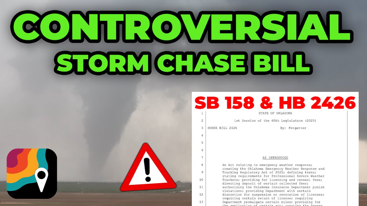
Virtually everyone across the weather enterprise has serious concerns about Oklahoma House Bill 2426, which seeks to inequitably regulate storm chasing. @Matthewcappucci discussed the bill with core partners from the Ryan Hall, Y’all and Max Velocity teams and Edgar ONeal:
MyRadar Weather51,928 views • 1 year ago