Planet
@planet • 262,530 subscribers
We see the whole world, every day. Using space to help life on Earth. 🛰️ $PL
Shorts


Videos


Owls: birds long revered for their incredible intelligence and eyesight. Our upcoming fleet of satellites will share a name with these majestic birds. With 1-meter class daily imagery and the latest GPUs onboard, our Owls will be wise and sharp-sighted, just like their avian namesake! See how we're taking the next step to true Earth insights. Learn more:
Planet105,556 görüntüleme • 9 ay önce


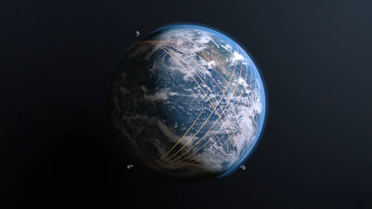
AI has spent years reading the internet, but now it’s time for it to see the world. We’ve been indexing the physical Earth for 8+ years. When you marry this data with foundation models, you move past chatbots to get a queryable Earth. Watch the full breakdown with Will Marshall on “The Future Of” podcast:
Planet35,690 görüntüleme • 4 ay önce


We were founded on a bold idea: to image the Earth every day and make change visible, accessible, and actionable. Our partnership with CarbonMapper puts that vision into practice by detecting methane emissions at their source, allowing operators and regulators to reduce methane swiftly and decisively. Learn more in our 2025 Impact Report:
Planet20,268 görüntüleme • 4 ay önce

Challenges are moving faster than static maps ever could. With Tony Blair Institute for Global Change, we’re helping the Philippine government embed near-daily, high-resolution satellite data & AI into decision-making. 📹Learn how they’ve been able to shift from reactive response to proactive resilience.
Planet17,993 görüntüleme • 4 ay önce


ICYMI: we launched Pelicans 5 & 6 last week, along with 36 SuperDoves! Shortly after launch, we made contact with our sats, which are now orbiting the Earth. ✨ More launches means more capacity for our advanced constellations and solutions, unlocking value for customers. Launch footage courtesy of SpaceX. Learn more about our constellations here:
Planet11,689 görüntüleme • 7 ay önce

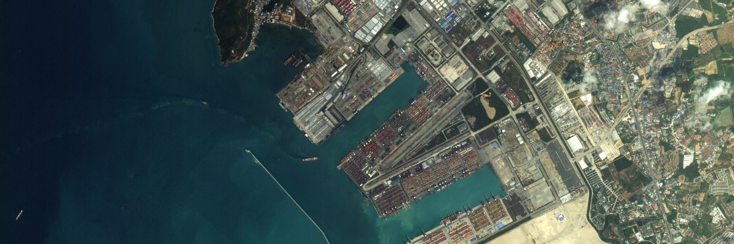
By combining over 20 million km² of PlanetScope near-daily oceanic imagery, advanced artificial intelligence, and AIS shipping data, our partner SynMax Maritime has created Theia, a maritime domain awareness solution. This intelligence-driven approach helps detect dark vessels, monitor ship-to-ship transfers, and identify illicit maritime activities, like illegal fishing. "It's Planet’s broad area monitoring that's key for Theia to do what it does,” SynMax’s CEO Brendan Moore. “We couldn’t be picking up tens of thousands of vessels a day over millions of square kilometers without that breadth that Planet provides.” Read more about our partnership: Watch to learn about this solution:
Planet14,135 görüntüleme • 1 yıl önce

Daha fazla içerik yok.