
The Asrat Blog
@RenaissanceDam • 16,956 subscribers
Principal Electrical Engineer. GERD technical insights and geopolitical context. #GERD #BlueNile #NileBasin #سد_النهضة #إثيوبيا #النيل_الأزرق #حوض_النيل
Videos

Ugandan President Yoweri K Museveni points out that Egypt repeatedly emphasizes its “historical rights” based on colonial-era Nile agreements, but the other Nile Basin countries are now asking a straightforward question: “What about us?” He argues that the Nile cannot be treated as if only downstream states have rights while upstream countries are ignored or sidelined. Instead, all basin nations should focus on shared prosperity: electricity, irrigation, drinking water, and economic cooperation, rather than an “us versus them” approach. #Ethiopia #GERD #Abbay #BlueNile #Nile #CFA #WaterJustice #Africa #Sudan #Egypt #SouthSudan #Uganda #Kenya #Tanzania #Rwanda #Burundi #DRC #Eritrea State House Uganda
The Asrat Blog90,704 次观看 • 4 个月前


Trump keeps repeating that the U.S. funded the Renaissance Dam. Why? Because in his mind: “We paid, so we own it. I’ll negotiate on Ethiopia’s behalf, hand Egypt the Nile, and get Gaza deportations in return.” Sad truth? Ethiopia’s Foreign Ministry is silent. Oh wait—right. It doesn’t exist anymore. #GERD #Trump #Ethiopia #NilePolitics #Gaza Note: Video source — Addis Standard
The Asrat Blog14,681 次观看 • 1 年前


Blood, sweat, and water 💧⚡ This statue at GERD tells our story: sacrifice, unity, and triumph. On top, the droplet reminds us: we save every drop of water. We turned struggle into strength, a dream into power, and water into light. Abay is Ethiopia’s promise for generations to come. 🇪🇹✨ #GERD #Ethiopia #Abay #Unity
The Asrat Blog10,463 次观看 • 1 年前


Now is the time for painting! The final chapter of Renaissance dam has begun. ✅ All 13 turbines have been installed. ⚡ 10 are ready for generation. 🛠️ The remaining 3 are undergoing dry and wet testing — and will be ready in the coming months, just in time for the grand inauguration in September 2025. This is the phase of purification and painting —the final touch before a new era begins. #GERD #Ethiopia #BlueNile #EnergySovereignty #AfricaRising
The Asrat Blog10,208 次观看 • 1 年前

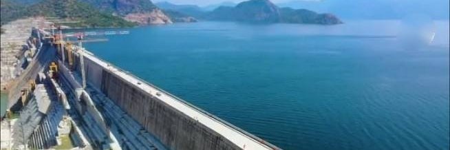
🚀 When Ethiopians Build, They Build BIG! 🇪🇹💪 The Great Renaissance Dam is nearing completion, with 97.6% of the total work DONE! Here’s the progress: ✅ Saddle Dam: Fully completed (2010 E.C.), operational with 4 power units—some ready, others in the testing phase. ✅ Main Dam: 1,800m long & 645m above sea level, 99.6% of civil works complete. ✅ Electro-Mechanical Works: 87% complete. ✅ Hydraulic Steel Structures: 98% complete. ✅ Connecting Bridge (Middle Ramp): Nearing completion. ✅ Spillway Gates: Fully operational. 💡 Ethiopia’s power capacity will increase by 83%! 🌍⚡ This is UNITY in action! 🌟 🎥 Watch the spillways in action! Footage from November 18. #GERD #Ethiopia #BuildBig
The Asrat Blog11,759 次观看 • 1 年前
没有更多内容可加载