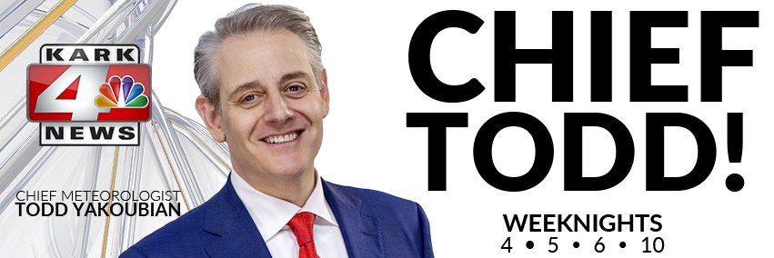

Todd Yakoubian
@ToddYakoubian • 127,737 subscribers
KARK Chief Meteorologist and Emmy award-winning meteorologist. Green=good, Orange=severe possible. Red=severe imminent.
Shorts


Videos

Terrible news for Arkansas through the end of the month. #Arkansas #Weather #Drought #ARWX #ARStormTeam
Todd Yakoubian28,811 просмотров • 8 дней назад


New Blaine, AR wildfire. This is in eastern Logan County #ARWX #ARStormTeam
Todd Yakoubian76,348 просмотров • 1 месяц назад


Hot Springs tornado from KARK viewer Adam Miller. #ARWX #ARStormTeam We continue LIVE coverage on KARK
Todd Yakoubian235,759 просмотров • 2 лет назад


Absolutely terrifying video of the Little Rock tornado crossing Cantrell next to the Purple Cow. The person shooting the video gets thrown to the ground with glass and debris flying everywhere. 2 minor injuries here. Incredible video by Kimberly Shaw. James Spann The National Weather Desk #ARWX #Tornado #LittleRock
Todd Yakoubian130,971 просмотров • 3 лет назад

Why? This is from Jacob Hall in North Little Rock. #ARWX #ARStormTeam
Todd Yakoubian37,649 просмотров • 9 месяцев назад


AWESOME drive through Ocean Springs, Mississippi. Thanks to Arkansans, Matt and Jillian Davis for sharing!
Todd Yakoubian38,199 просмотров • 1 год назад

MUST WATCH! Turn up the sound. This is what makes snow special! #ARWX #ARStormTeam Thanks Harpee for sharing
Todd Yakoubian35,311 просмотров • 1 год назад

My childhood home, and where my mom lived up until she passed away last month #arwx
Todd Yakoubian50,699 просмотров • 3 лет назад

Finally official! I am honored and humbled to be the new KARK Chief Meteorologist. HOWEVER, this is all about YOU! I'm here to serve you! All of us on the Arkansas Storm Team will never forget that. From the bottom of my heart, THANK YOU for your loyalty and trust. #ARWX #ARStormTeam
Todd Yakoubian36,488 просмотров • 2 лет назад


Why is this forecast so difficult? #arwx #ARStormTeam KARK 4 News
Todd Yakoubian10,073 просмотров • 9 месяцев назад