Загрузка видео...
Не удалось загрузить видео
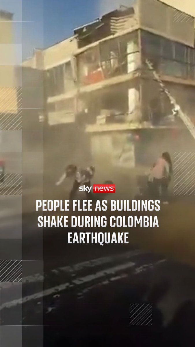
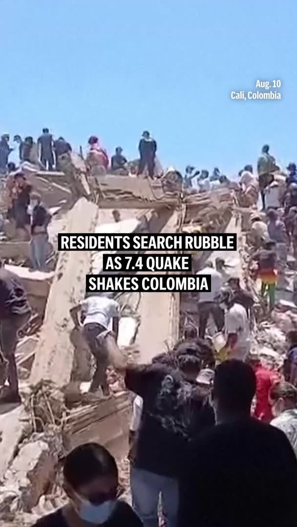
A 7.4 magnitude earthquake struck western Colombia, causing significant damage in cities like Cali and Pereira, and marking the country's strongest quake this century

146,448 просмотров • 2 месяцев назад •via X (Twitter)
Комментарии: 5

Hey Super, build an interactive seismic wave propagation and ground motion analysis tool simulating a M7.4 earthquake in western Colombia affecting Cali, Pereira, and surrounding regions. The tool features an interactive Leaflet map centered on western Colombia with animated expanding P-wave (compressional ~6.0 km/s) and S-wave (shear ~3.5 km/s) fronts radiating from the M7.4 epicenter. Users can scrub through time, adjust focal depth (5 km to 70 km), and click on key cities (Cali, Pereira, Medellín, Bogotá) to inspect calculated hypocentral distances, wave arrival times, estimated Peak Ground Acceleration (%g via attenuation equations), and Modified Mercalli Intensity (MMI) levels. Include a building structural resonance visualizer using canvas or p5.js that models how low-rise (1-3 stories), mid-rise (4-10 stories), and high-rise (10+ stories) structures respond to high-frequency vs long-period surface waves based on focal depth and distance. Allow visitors to export a structured PDF/JSON seismic scenario brief containing wave arrival schedules, hazard intensity estimates, and engineering resonance parameters.

Prayers for those people!

On the Ground doing rescues - send leads of missing people

#SATAN @00001010100010001000100000010103101010710105701051301001001001953091510101010199101871041610410410410410401610410 10199 10166 10146 107810166 10146 1078

Thật kinh khủng, xin chia buồn với các bạn, hãy cố gắng lên