正在加载视频...

视频加载失败

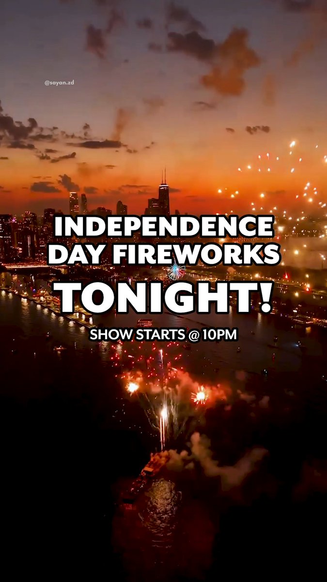
Captured this timelapse on Saturday from Wolf Point, where the three branches of the Chicago River meet. Through the Chicago Municipal Device you can see the Lake Street Bridge raised up to let boats head out to Lake Michigan for the summer.

28,752 次观看 • 1 年前 •via X (Twitter)

0 条评论

暂无评论

原始帖子的评论将显示在这里

相关视频

Winter Weather Advisory ⚠️ for Lake Cook Dupage and Will counties and south from there from 6PM Saturday to 6PM Sunday If it was just system #snow giving us a glancing blow from the expansive southern storm dumping every type of weather from #Chicago to the gulf coast, an easy forecast of 1”-4” north to south would be on the table But dance with the devil we must as Lake Michigan sits poised to be either a reluctant dance partner or the lead tango dancer in the snow show Forecasts range from 2”-9” in the city. 2” means no lake impact, 9” means we get a long duration lake feed I’m leaning toward the latter, as entrenched cold air, mid and low level wind convergence over the lake, a lengthy North-Northeast wind fetch and still open mid lake surface water should be enough to loft even a little moisture 2-3 miles upward to feast on an excellent snowflake growth zone that will feed into the immediate Chicago shore areas and add another 3”-5” to the system snow. Another tricky point is the ratio of liquid to snowfall. Usually we see a 10 to 1 mix. 0.1” liquid=1” snow. This cold air here will double that to 20 to 1 so even an extra 1/4 inch of liquid would be 5” of snow (0.25x20=5.0) to add in And by immediate shore areas I could see Midway getting double what O’Hare gets. Like Cicero Ave and east being a cutoff Here’s the model variance. Snow would start to trickle in about sunset Saturday and just hang out thru much of Sunday into the afternoon.

WindyCity Weather and News

55,195 次观看 • 5 个月前