Loading video...

Video Failed to Load

Go Home

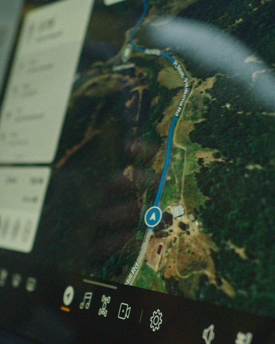
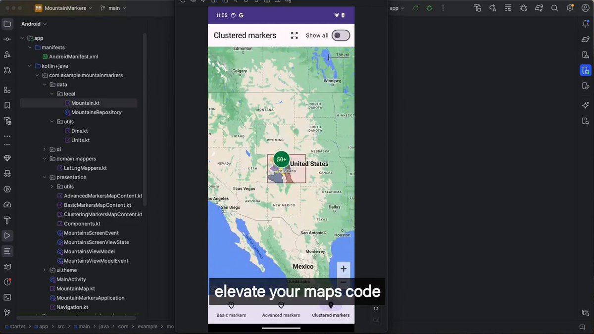
I've been asked many times how we achieved these micro-interactions and meaningful animations with Google Maps SDK. The secret? We skip most Google Maps APIs and render ourselves 😅.

119,289 views • 1 year ago •via X (Twitter)

11 Comments

Ridwan Aditama | 🇮🇩 in 🇳🇴's profile picture
Ridwan Aditama | 🇮🇩 in 🇳🇴1 year ago

So how do you render the maps? Are they still using the Library APIs and then render the animations on top of the maps layer? Thanks for the answer :D

Cyril Mottier's profile picture
Cyril Mottier1 year ago

The map itself is rendered with Google Maps SDK using the Compose wrapper. That's it. Everything else is custom: markers, dialogs, overlays, etc. The hardest part? Syncing decorations with map scrolls/flings. The less you rely on Google Maps, the better.

APILayer's profile picture
APILayer1 year ago

🔓 Unlock new possibilities for your business with APIs! 🚀 Discover our extensive API Marketplace, featuring top-notch, cutting-edge solutions tailored just for you. Elevate your company and drive innovation! Get started with apilayer today:

Luca's profile picture
Luca1 year ago

i'll never forget the proprietary zenly map feature 🥲

Cyril Mottier's profile picture
Cyril Mottier1 year ago

That's the next step to "custom" 😜

Anmol Verma ⚡️'s profile picture
Anmol Verma ⚡️1 year ago

Do you draw a gl surfaceview on top of google maps ? If yes, Does that even work with hardware rendering enabled now ? Or this is not opengl and you map these markers and cluster then based on map zoom listeners ?

Cyril Mottier's profile picture
Cyril Mottier1 year ago

No we render/animate all markers with Compose (rarely with shaders). So almost no OpenGL involved here. Yes we sync decorations with map scrolls/flings

oa's profile picture
oa1 year ago

damn i used to use zenly

Benoit Letondor's profile picture
Benoit Letondor1 year ago

That's the most impressive part actually, doing it yourself!

crunch's profile picture
crunch1 year ago

LOOKS SIIICKKKKK🤌🤌🤌

Jeyniee Daniels's profile picture
Jeyniee Daniels1 year ago

I love it

Related Videos

The original map of Somalia 🇸🇴 is not what colonial-based platforms like Google Maps present today. Somalia is much larger than the 7 displayed in Google Maps and Wikipedia crapp. Before colonization divided the land, the Somali nation encompassed all Somali-inhabited territories, including: • Djibouti (formerly French Somaliland) • Northern Somali regions, Western Somali regions, and the NFD (under British rule) • Southern Somalia (formerly Italian Somaliland) These borders were not drawn by Somalis. They were imposed by colonial powers to fragment the Somali peninsula into artificial territories. The true extent of Somalia is symbolized by the five-pointed star on the Somali flag, not by modern colonial maps. Google Maps and similar projections do not define Somalia’s real size or history. Mapping itself has long been a political tool. The same distorted projections shrink Africa while making North and South America, Russia, and China appear comparable; when Africa alone is larger than all of them combined. History did not begin with colonization, and truth does not start with Google Maps.,The true size of Somalia is far greater than what today’s maps suggest. Reality deserves to be acknowledged. 🇸🇴✊🏽 #Somalia #Mogadishu #GreaterSomalia #Somali #SomaliUnity #OnePeople #PanSomali #AfricanHistory #DecolonizeMaps #ColonialBorders #ReclaimHistory #ColonialLegacy #ImperialMaps #maps #DecolonizeAfrica #TruthOverMaps #AfricanTruth #HistoryMatters #SomaliPride #FivePointStar #SomaliNation #SomaliPeninsula

Mohamed Olad

21,627 views • 6 months ago