Загрузка видео...
Не удалось загрузить видео
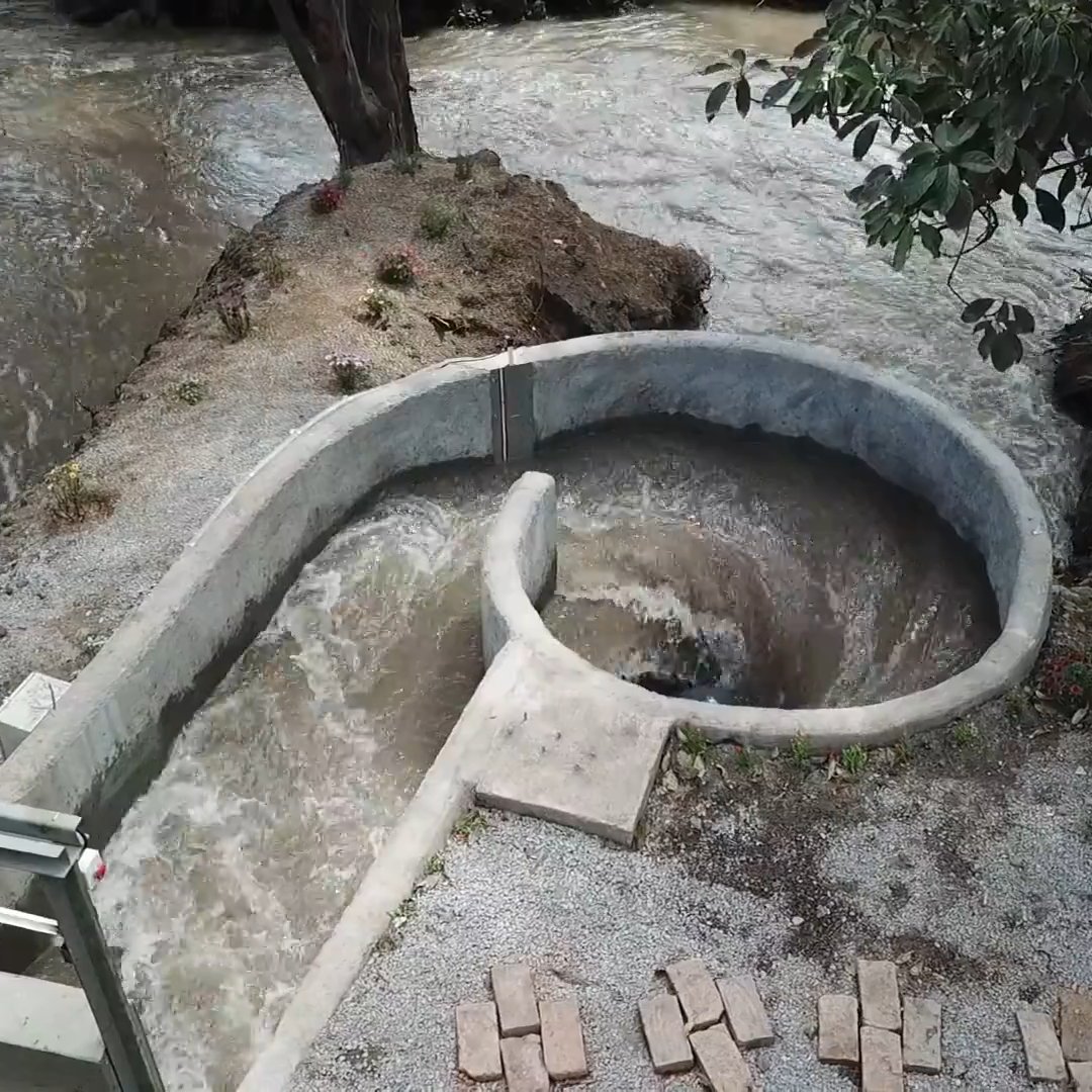
#MakingMapsPretty I’m developing a #QGIS tool to generalize and smooth a DEM, then generate a shaded relief and matching contour lines, all adapted to the selected level of generalization. Azimuth, height, Z-factor, and contour interval are controlled with a single click.
15,407 просмотров • 6 месяцев назад •via X (Twitter)
Комментарии: 0
Нет доступных комментариев
Здесь появятся комментарии из оригинального поста