Загрузка видео...
Не удалось загрузить видео
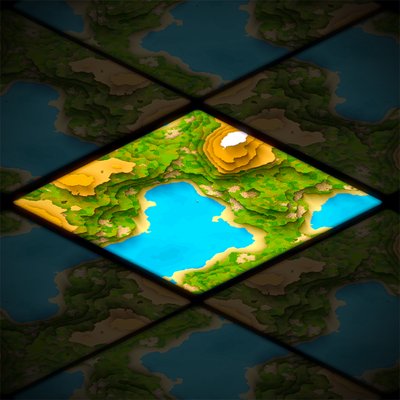
Playing around with an accumulating wetness map on terrain. This has multiple uses - it emphasises small transient streams that don't have enough data resolution otherwise, and also suppresses vegetation growth in riverbeds over time.
70,104 просмотров • 4 месяцев назад •via X (Twitter)
Комментарии: 15

I always wanted to make a region wide stormwater simulation model where you could just plop a building in and see what happens.

Dang this is pretty! When’s the release? 😁

Make it a game about reclaiming wetlands and watching animals flourish - I’m in!

If youre interested in chatting, let me know.

I don’t know what this is but it looks great.

So very very cool!

Reminds me vaguely of Populous

Been a while since you posted anything 😂

Neat! Do you have a link to a repo?

Sorry, it's not publicly available yet

Really lovely work, i particularly like seeing the shoreline sand dry up after the water level has dropped.

It's beautiful! very very cool, could definitely use that for a project.

Awesome. Looking forward to this

I like to study surface atmosphere interaction and appreciate the surface roughness. #art #Hortonian overland flow is a hydrological process where #surface runoff occurs because #intensity of rainfall exceeds the #infiltration capacity of the soil.

En una simulación todo es posible?