Video wird geladen...

Video konnte nicht geladen werden

Zur Startseite

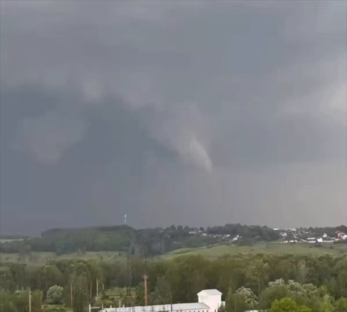
🚀 Real-time AI Tornado Detection Today we're introducing Tornado ID (Beta), an advanced artificial intelligence (AI) designed to analyze weather radar data in real time and identify tornadoes. Rather than only looking for clear tornado signatures, it also flags storms that are tornadic in general - storms exhibiting signatures...

48,250 Aufrufe • vor 3 Monaten •via X (Twitter)

0 Kommentare

Keine Kommentare verfügbar

Kommentare vom Original-Post werden hier angezeigt

Ähnliche Videos

It is getting cold, blustery and wet out there! 📡🥶 If you were watching the National Weather Service (NWS) radar data out of NWS Tampa Bay this afternoon, you would have noticed what appeared to be a sharp increase in the coverage of showers from one frame to the next over the Tampa Bay region. 📡 ☔️ In reality, the precipitation was not increasing. The trained NWS meteorologist and radar operator shifted the radar scanning strategy to better detect lighter, lower-level precipitation. Notice the change at the top of this radar animation with the “VCP”, or volume coverage pattern. Watch it change from VCP 215 to VCP 34. What does this mean? 🤔 The National Weather Service Doppler radar volume coverage pattern (VCP) modes determine how radar beams are emitted and the angle at which they scan the atmosphere. VCP Mode 215: This mode provides higher vertical resolution due to more elevation angles being processed. It typically includes more volume scans, focusing on detecting severe weather phenomena such as thunderstorms and tornadoes effectively. VCP Mode 34: This mode offers lower vertical resolution with fewer elevation angles. It is designed for less demanding weather situations, providing broader coverage and is often used during more stable weather conditions. As these sprinkles and light showers continue to develop and move ashore from the Gulf within a blustery northwest wind, much colder (and drier) air will overspread the area through tonight into Sunday morning when the potential exists for isolated flurries or frozen rain drops (i.e., sleet or ice pellets). VCP 34 typically features more lower elevation scanning angles compared to VCP 215. 📡Things to remember📡: Lower radar elevation angles sampled by VCP 34 are designed to scan the atmosphere closer to the ground. This design is beneficial for detecting broader weather patterns and identifying precipitation types that occur near the surface. Stay warm! #FLwx #Gasparilla City of Tampa Hillsborough County

Brian LaMarre

12,222 Aufrufe • vor 5 Monaten

Christmas Eve and Christmas Day feature the most impressive severe thunderstorm setup I’ve seen along the California coastline in at least a decade. The first round of isolated severe thunderstorms will come ashore tonight, bringing the threat of a isolated tornado and severe wind gusts over 60 mph from the Central Coast up to Humboldt County. The severe weather threat then expands into the Central Valley during the afternoon, California’s tornado alley, with the potential for isolated tornadoes, damaging winds, and even large hail. The threat then shifts south into Southern California tomorrow, where isolated severe wind gusts and a brief tornado will be possible. However, Christmas Eve into Christmas morning features the most potent severe weather environment of the week and could lead to a severe thunderstorm outbreak along the coastline from the Central Coast up to the North Coast. The combination of strong low-level and deep-layer shear with sufficient instability is rarely seen in this part of the world. I seriously cannot recall seeing Significant Tornado Parameter (STP) values exceed 3 along the California coastline. The peak threat window appears to be from 10 PM Thursday to 8 AM Friday. It would not be out of the question to see a Severe Thunderstorm Watch issued Christmas Eve night with the potential for a couple tornadoes and scattered severe wind gusts. I also believe this may be the first time on record that San Francisco has been placed under a Marginal Risk for severe thunderstorms in the Day 1–3 NWS Storm Prediction Center Convective Outlooks.

Colin McCarthy

68,544 Aufrufe • vor 6 Monaten