正在加载视频...

视频加载失败

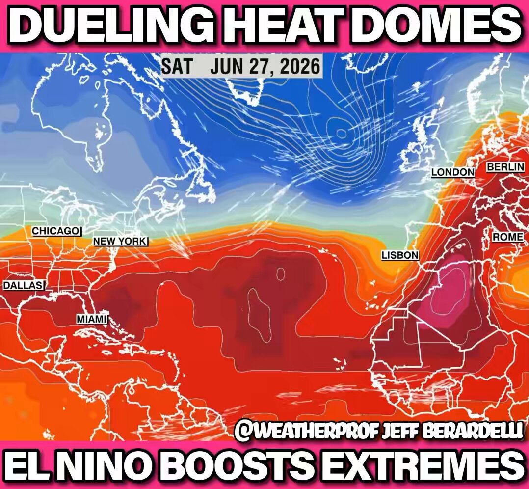
The atmosphere absorbs 7% more moisture for every 1°C temperature increase. Currently any moisture left in the soil & plants is being sucked out of them. The Super El Niño peaks in October ish, I’d highly recommend stocking up on food. The El Niño of 1877 killed 55m, this...

20,443 次观看 • 2 个月前 •via X (Twitter)

0 条评论

暂无评论

原始帖子的评论将显示在这里

相关视频

David Friedberg: El Niño Could Trigger a Global Food Crisis “This Science Corner is about the dreaded El Niño season that is coming up. Ocean temperatures are going to exceed anything we have seen in recent history. Why does this all matter? The reason is the oceans are the battery of weather. And at this point, there is so much excess energy stored up in the oceans, it's about 11 million terawatt-hours. That's 500 years worth of human energy in this ocean. And over the next few months, that energy's going to be released into the atmosphere. 99% confidence that will make the upcoming year the hottest year on record by far that humans have ever experienced. Southern Argentina, Chile, Brazil could see record-shattering heat waves, and this is where things start to get a little nasty, because when that happens, the crops start to fail. Hundreds of millions of people depend on the exports out of Brazil, Brazil is the world's largest ag exporter. And the scariest one of all is if the monsoons fail, which is now a very high probability event in India. 150 million farmers in India, and 1.5 billion people that depend on that food. If you think about the second and third order effects of this, over the next year you could see energy prices spiking, and electricity spiking, and the grid failing in parts of the Southwest. Commodity prices spiking all over the world. And then you would see places like India, the Philippines, Vietnam starting to face some sort of unrest if there isn't enough food supply that's coming into those markets. And then the question in India is a really nasty one because there isn't a really good solution.”

The All-In Podcast

131,952 次观看 • 4 个月前

Tuesday October 6, 2026, 8:19 AM: The latest EU1 consistent trending highly assertive and dynamic Gulf of Alaska low that is expected to move off of Santa Barbara by approximately 80 to 124 miles off the coast as early as Sunday afternoon to Sunday night. This complex system will interact with the unusually warm sea surface temperatures caused by the very strong El Niño, while also drawing large batches of tropical moisture from Rachel's axis around the large high-pressure ridge over Texas. Currently, our ongoing intense heatwave is likely to continue through Friday. Rainfall estimates over the last 36 hours between 1.5 to 3.5 inches by both the EU1 and GFS models are starting to come into better alignment. Disclaimer: These rainfall amounts may be adjusted in the next 24 to 42 hours and up to Saturday 7PM. The reason based on the precise movement of the Gulf of Alaskan low pressure system and the remnant moisture from Rachel’s timing and intensity for which part of Southern California gets the most rainfall. This early and aggressive storm marks the beginning of what promises to be a very wet rainy season. Anticipate above average rainfall in the coming winter months, as escalating warmer sea surface temperatures have the capacity to release substantial amounts of precipitation rapidly. Additionally, the recent heat wave has further warmed the local ocean waters, contributing to the potential for significant rainfall. I will continue to update you on this dynamic weather situation in the next 42 to 72 hours. #CAwx #Rachel #GulfofAlaskanlow #HurricaneSeason2026 #ElNiño

Jason D Farhang

31,589 次观看 • 8 天前