Загрузка видео...
Не удалось загрузить видео
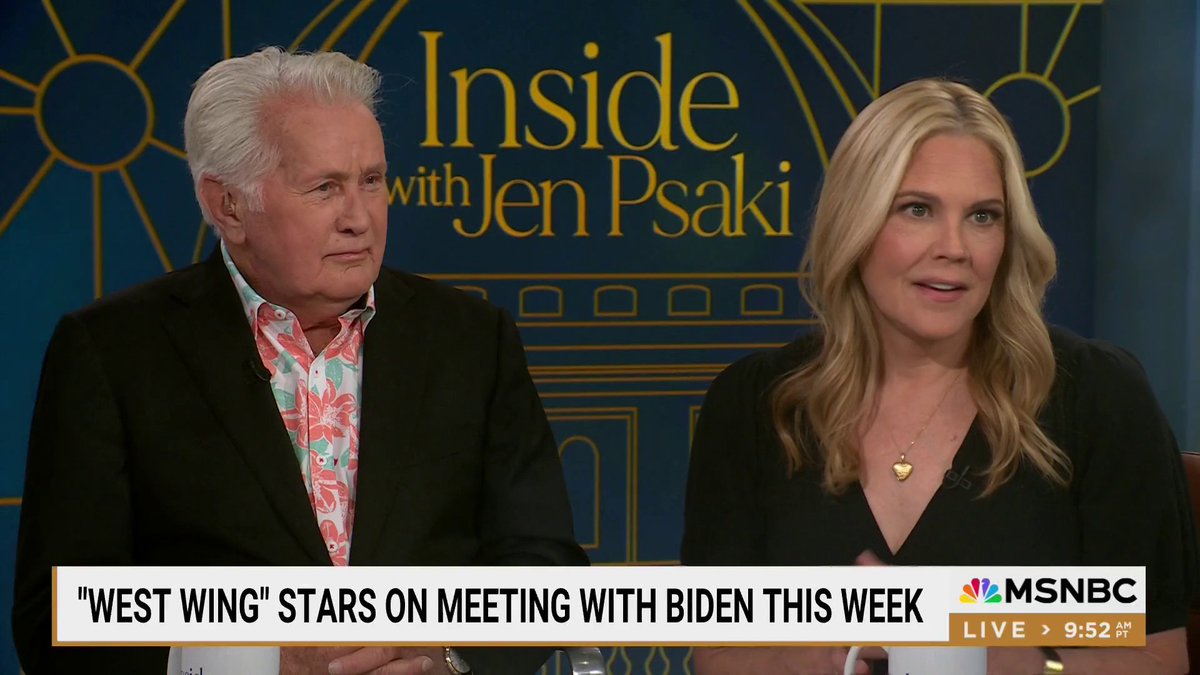
The West Wing spitting some truth...
130,093 просмотров • 1 год назад •via X (Twitter)
Комментарии: 11

True Size of Countries

🇺🇸 One Nation, under Trump, Stronger THAN EVER. Are you Trump Tough? 💪Tough T's Here:

Note: "The West Wing" is an acclaimed political drama TV series created by Aaron Sorkin. It aired from 1999 to 2006, focusing on the daily operations and political battles within the White House under President Jed Bartlet. The show is known for its sharp dialogue, complex characters, and realistic portrayal of American politics, earning numerous awards including multiple Emmys. It's a must-watch for political drama enthusiasts.

Wait... what... there's no globe in the White House...

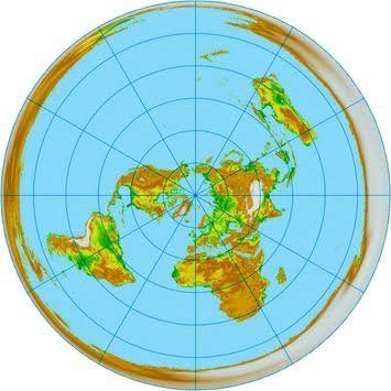
This is what the map actually looks like vs we see in line.👇

Peter's Projection, also known as the Gall-Peters Projection, is a map projection that presents the world in a more accurate and equal-area representation. 1. *Created by James Gall and Arno Peters*: The projection was developed by Scottish clergyman James Gall in 1855, but it gained popularity when German filmmaker Arno Peters promoted it in the 1970s. 2. *Equal-area representation*: Peter's Projection is an equal-area map, meaning that it preserves the actual size and shape of countries and continents. This is in contrast to the more commonly used Mercator Projection, which distorts sizes and shapes. 1. *Criticism and controversy*: Despite its benefits, Peter's Projection has faced criticism for its distortion of shapes and angles. Some cartographers argue that it is not suitable for navigation or other practical applications. 2. *Used by organizations and governments*: Peter's Projection has been adopted by several organizations, including the United Nations, the European Union, and the German government. 1. *Inspires new cartographic approaches*: Peter's Projection has inspired the development of new cartographic approaches, such as the Winkel Tripel Projection and the Robinson Projection. 2. *Continues to spark debate and discussion*: Peter's Projection remains a topic of debate and discussion among cartographers, geographers, and educators, ensuring its continued relevance in the field of geography and beyond.

Can you imagine the #ridiculously low quality of education, when the #PetersProjection is "news" for someone? #OhDear

Interesting clip🙂

Absolutely True

THE WEST WING SHOULD BE SHOWN ON TV.

Sorkin was fishing in a barrel before the internet