Loading video...

Video Failed to Load

Go Home

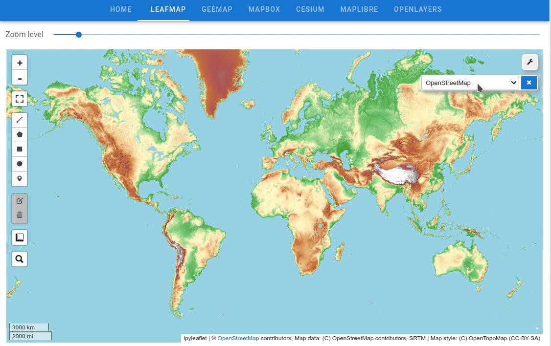
Turning Jupyter notebooks directly into an interactive dashboard with automatic deployment on Hugging Face ๐Ÿ‘‡ GitHub: Web App: #geospatial #dataviz #jupyter

51,652 views โ€ข 3 years ago โ€ขvia X (Twitter)

10 Comments

Qiusheng Wu's profile picture
Qiusheng Wu3 years ago

If you want more flexibility and faster web app, checkout #Solara

Qiusheng Wu's profile picture
Qiusheng Wu3 years ago

I used to utilize Heroku for deploying Voila dashboards, but Heroku stopped providing its free version last year. Hugging Face is a great alternative and it has a free version ๐Ÿคฉ. It is much easier to set up and deploy web apps on Hugging Face.

Qiusheng Wu's profile picture
Qiusheng Wu3 years ago

Voilร  turns Jupyter notebooks into standalone web applications

Jose Abreu M's profile picture
Jose Abreu M3 years ago

@SaveToBookmarks #geospatial

Davide De Marchi's profile picture
Davide De Marchi3 years ago

Thank you so much! I tested and it worked smoothly. I will use your example to deploy my Voilร  dashboards Great!

Qiusheng Wu's profile picture
Qiusheng Wu3 years ago

Glad to hear that it helped

Davide De Marchi's profile picture
Davide De Marchi3 years ago

First example dashboard (using the vois library) deployed in hugginface: It shows a modern interface to the legacy NASA service "Astronomy Picture Of the Day" vois library docs: Thanks again @giswqs!

Qiusheng Wu's profile picture
Qiusheng Wu3 years ago

Nice ๐Ÿ‘

Eric Claxon's profile picture
Eric Claxon3 years ago

@SaveToNotion #Thread #Python #Jupiter #Web

Fernando Puricelli's profile picture
Fernando Puricelli3 years ago

@SaveToNotion #tweet #app #ia

Related Videos

๐Ÿš€ GeoLibre just passed 5,000 stars on GitHub, in only two months! GeoLibre went public on May 27, and the community has already pushed it past 5,100 stars and 500+ forks. Thank you to everyone who starred, forked, filed issues, opened pull requests, and shared the project. For those just discovering it: GeoLibre is a free and open-source, lightweight, cloud-native GIS platform for visualizing, exploring, and analyzing geospatial data. It runs everywhere you do, in the web browser, on the desktop, on mobile, and inside Jupyter notebooks, all while keeping your data local and private. Key features of GeoLibre: - Runs anywhere: the same app ships as a native desktop app, a browser web app, a native Android app, and a Jupyter widget. - Local and private by default: load and analyze GeoJSON, GeoParquet, GeoPackage, Shapefile, COG, LiDAR, 3D Tiles, and more, right in the browser. - Powered by open source: built on MapLibre GL JS, DuckDB-WASM Spatial, Tauri, React, and TypeScript. - Spatial SQL in the browser: query your data with DuckDB Spatial, PostGIS via PGlite, and Apache Sedona. - Extensible: a growing plugin system for cloud data, federal web services, and custom tools. - Supports 12 planetary basemaps: Earth, Mars, the Moon, Mercury, Venus, and more. Two months in, we have already shipped 25 releases, the latest being v2.4.0. There is a lot more to come, and the best way to shape it is to jump in. Try it out - Launch GeoLibre Web: - GitHub: - Documentation: - Release notes: If GeoLibre is useful to you, a star on GitHub and a share here go a long way. Thank you for an incredible first two months. #geospatial #opensource #MapLibre #GeoLibre

Qiusheng Wu

94,882 views โ€ข 2 months ago