Загрузка видео...
Не удалось загрузить видео
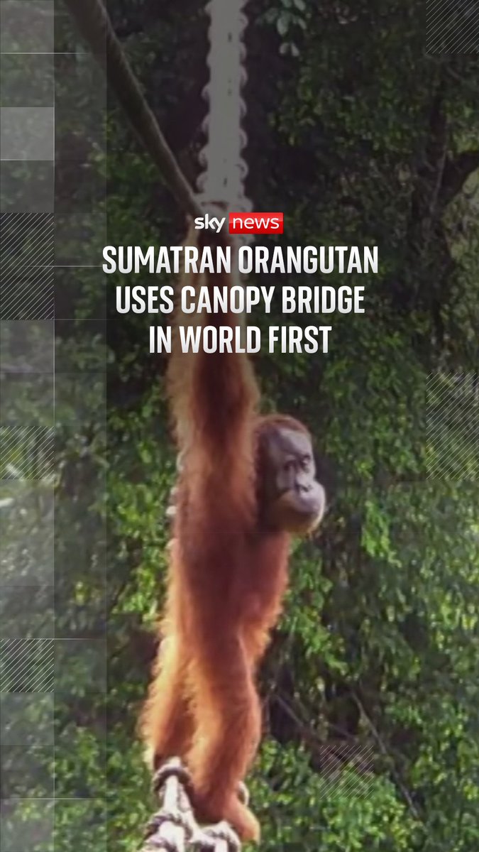
We’re announcing Canopy Height Maps v2 (CHMv2), an open source model for high-resolution global forest canopy mapping, developed in partnership with the World Resources Institute. CHMv2 leverages our DINOv3 Sat-L vision model, specifically optimized for satellite imagery, to deliver substantial improvements in accuracy, detail, and global consistency. 🔗 Learn more:

64,514 просмотров • 3 месяцев назад •via X (Twitter)
Комментарии: 0
Нет доступных комментариев
Здесь появятся комментарии из оригинального поста