正在加载视频...
视频加载失败
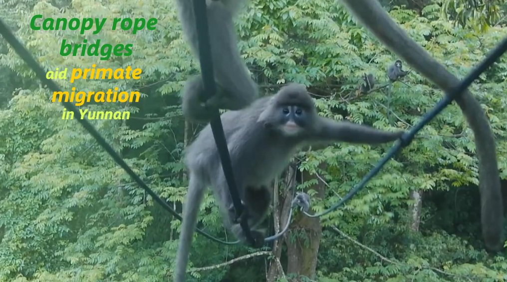
We’re announcing Canopy Height Maps v2 (CHMv2), an open source model for high-resolution global forest canopy mapping, developed in partnership with the World Resources Institute. CHMv2 leverages our DINOv3 Sat-L vision model, specifically optimized for satellite imagery, to deliver substantial improvements in accuracy, detail, and global consistency. 🔗 Learn more:

0 条评论
暂无评论
原始帖子的评论将显示在这里