Video wird geladen...

Video konnte nicht geladen werden

Zur Startseite

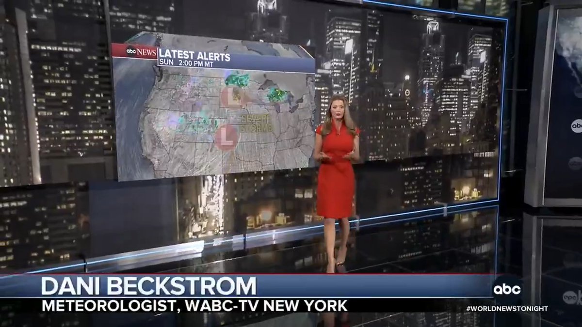
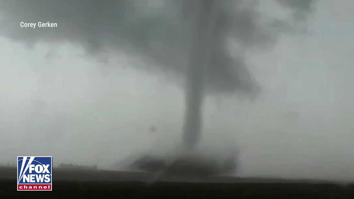
WOW These cooking outflow boundaries with big instability, easterly surface winds beneath modest westerlies always produce the biggest, strongest wedge tornadoes in the Great Plains. WATCH OUT OKC #tornado threat 5-11 pm!

82,202 Aufrufe • vor 1 Jahr •via X (Twitter)

8 Kommentare

Profilbild von Golf Safety
Golf Safetyvor 2 Jahren

Plot twist: These safety plans actually SAVE you time! 👀 With our customized, comprehensive resources, it's never been easier to keep your course OSHA-compliant and your crew safe. Book a demo call with Golf Safety today and let's build a safer environment together!

Profilbild von Amanda
Amandavor 1 Jahr

Texas is ok tho?

Profilbild von Reed Timmer, PhD
Reed Timmer, PhDvor 1 Jahr

Can you please watch the video

Profilbild von TornadoVortices
TornadoVorticesvor 1 Jahr

Kinda remind me of El Reno but I hope not.

Profilbild von Pattye 🦉🇺🇲 🇺🇦
Pattye 🦉🇺🇲 🇺🇦vor 1 Jahr

Thank you Reed. Stay safe. That beard and mustache are looking very attractive

Profilbild von 5G
5Gvor 1 Jahr

uhm

Profilbild von Opie Winston
Opie Winstonvor 1 Jahr

You all gonna be out chasing them?

Profilbild von J C Adams
J C Adamsvor 1 Jahr

More rain, Shad? ☝️☝️ @yearlins

Ähnliche Videos

What's a "wedge" tornado? And how rare are "megawedge" tornadoes? There is no technical definition of a "wedge." Storm chasers consider wedge tornadoes to tornadoes that appear wider than they are tall. (For the tornado's height, they use the distance from the ground to the cloud base – AKA the "lifting condensation level". True tornado circulations extend up to 30,000 or 40,000 feet into the storm, so no tornadoes are *actually* wider than they are tall. We just can only see the part of the tornado that hangs down from the cloud base.) The tornado you see below occurred in Harlan, Iowa on April 26, 2024. It's the biggest I have ever seen. It was 1.1 miles wide, and had winds estimated by mobile Doppler radar up to 224 mph! Only 1 or 2 in 1,000 tornadoes grows larger than a mile wide – at least according to National Weather Service survey data. Realistically, that number might be significantly higher when counting inflow winds and ill-defined edges of the tornadic circulation, especially in rain-wrapped environments. (Where does the "tornado" end and the wind "around" the tornado begin?) MEGAWEDGE tornadoes are informally considered anything wider than 1.5 miles in diameter. The National Weather Service has only "officially" logged 30 megawedge tornadoes out of the 84,000+ in their database. The BIGGEST tornado on record occurred in El Reno, Oklahoma on May 31, 2013. It was 2.6 miles across! That said, researchers found evidence that the Mulhall, Okla. tornado on May 3, 1999 had a peak "core circulation" about 4.3 miles wide. In other words, that's the diameter of the 96 mph or greater winds. Let's hope 2025 doesn't feature any megawedges! If there are, we'll be streaming them in the MyRadar Weather app!

Matthew Cappucci

23,980 Aufrufe • vor 1 Jahr