
Ben Tzion Macales
@BenTzionMacales • 22,659 subscribers
Geo-analyst and Satellite Imagery enthusiast 🌍 גיאו-אנליסט ומפענח תצ''א.
Shorts


Videos


This is what strikes on a "missile city" tunnel complex look like. The missile base in Baharestan, southeast of Esfahan, was struck at several points, destroying all surface infrastructure. The base's underground facility appears to have been damaged primarily at the tunnel entrances, restricting the ability to remove missiles from the underground stockpile for a short term. No significant internal damage is currently expected. 📍 32.4645332, 51.7112806 Courtesy: Jake Epstein
Ben Tzion Macales104,590 Aufrufe • vor 3 Monaten


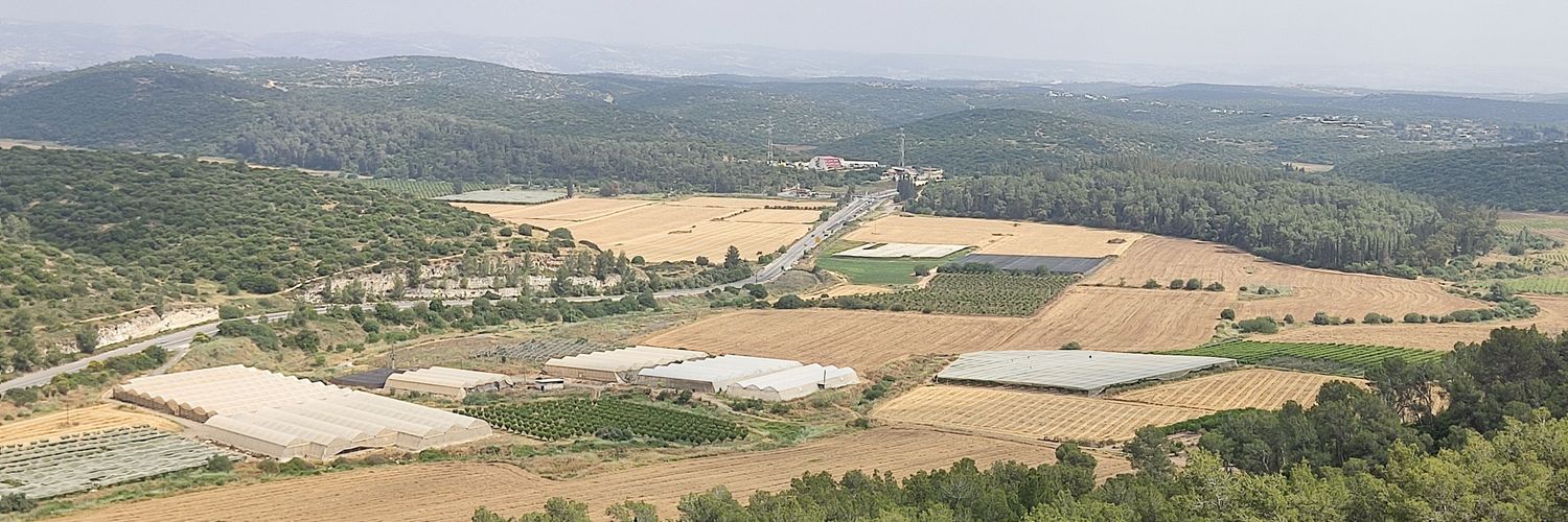
היישוב החדש מעלות חלחול (מרום יהודה) לפני ואחרי עלייתו לקרקע 🇮🇱
Ben Tzion Macales18,339 Aufrufe • vor 5 Monaten

חצי שנה אחרי, איראן מתכוננת לסבב הבא. ישנם סימנים ברורים מאוד של לא רק שיקום יכולות גרעיניות, אלא גם מרוץ להגדלת מלאי הטילים הבליסטיים. עם זאת, תשתיות חיוניות עבור מערך הטילים נפגעו משמעותית, אבל איראן הפיקה לקחים והיא נואשת להציג לעולם שהיא עדיין עומדת על הרגליים. מבחינת ישראל מבצע "עם כלביא" היה כיסוח דשא אפקטיבי ומוצלח, אך לא מושלם. היכולות הגרעיניות והבליסטיות של איראן חזרו שנים אחורה. אבל כיסוח דשא דורש ריכוז לקראת הפעם הבאה, והאויב מתכונן אליו גם. המערכה לא תמה. בסרטון: מפעל ייצור אמל"ח בחוג׳יר, מזרחית לטהראן, אחרי ביקור ישראלי
Ben Tzion Macales13,393 Aufrufe • vor 6 Monaten
Keine weiteren Inhalte verfügbar