

Mike Thomas
@MikeTFox5 • 21,366 subscribers
@Fox5DC Evening Meteorologist. Forecast & Graphics Production lead. Former forecasting expert @CommodityWX. DeMatha & Penn State Alumni
Shorts


Videos
You want a winter to remember? ❄️ How about four systems in 11 days back in 1966! Four systems in 11 days, 50 years ago! ☃️ DCA: Trace (Jan 22), 7.5" (Jan 26), 13.8" (Jan 29), 1.7" (Feb 1) IAD: 3.2" (Jan 22), 6.0" (Jan 26), 9.8" (Jan 29), 2.1" (Feb 1) BWI: 2.1" (Jan 22), 7.2" (Jan 26), 12.1" (Jan 29), 2.7" (Feb 1) What a wintry stretch! ❄️
Mike Thomas150,304 views • 5 months ago

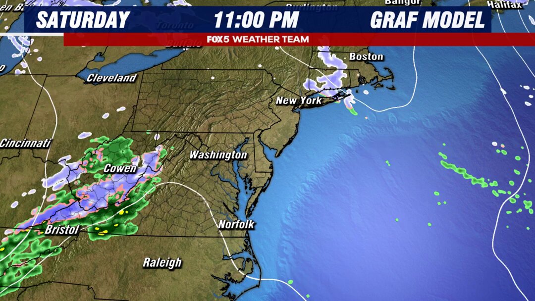
Friday & Saturday are your "washout days" where rainfall is most widespread. Sunday & Monday should both have some drier periods to them, perhaps even some broken sunshine (especially later Sunday & Monday PM) but still expecting some scattered showers & storms both days.
Mike Thomas47,798 views • 2 months ago

Remember in the winter when we talk about "overrunning" for snow events? Same process happening here in the days ahead. Warm, moist air streaming in above our heads, while high pressure to the north pushes down cool air at the surface. Result? Round after round of rain showers.
Mike Thomas19,747 views • 2 months ago

Here's how the GRAF sees the TWO storms hitting the DC region on Tuesday-Wednesday this week. -Has snow starting 12-1pm in DC. -Note temperatures...likely above freezing at onset. We will "lose" some snow initially to ground melt. Recall the January storm, we had VERY cold temperatures leading up to it. Not quite this time. -I still worry the northern end of the I-81 corridor (Winchester up to Hagerstown zone) could underperform due to lighter precip and "mountain dry slotting" you can see this model, like the HRRR, trying to pick up on that a bit. -Snow exits around/after midnight in immediate DC area. We're then dry most of the first half of Wednesday. -Second system approached Wednesday afternoon. This one has much warmer mid-levels, and should be a moderate to heavy rain event for DC. -Cold may lag at the surface west of town. Some freezing rain may mix in, some icing is possible in higher elevations. -Rains will help wash away a lot of Tuesday's snowfall. This snow will NOT last as long as January's did. -Rain exits after midnight, Thursday & Friday are dry.
Mike Thomas40,971 views • 1 year ago

DC could have their latest 100°F day in 44 years with a record breaking day tomorrow, before some cooler air comes off the Atlantic on Thursday night & Friday. We'll bubble back up for the weekend (hot...but not extreme) before another round of fall weather comes in on Tuesday!
Mike Thomas23,442 views • 1 year ago
No more content to load