NWS Portland
@NWSPortland • 112,041 subscribers
Official account for the National Weather Service Portland. Details: https://t.co/trwMRZJmXv
Shorts


Videos

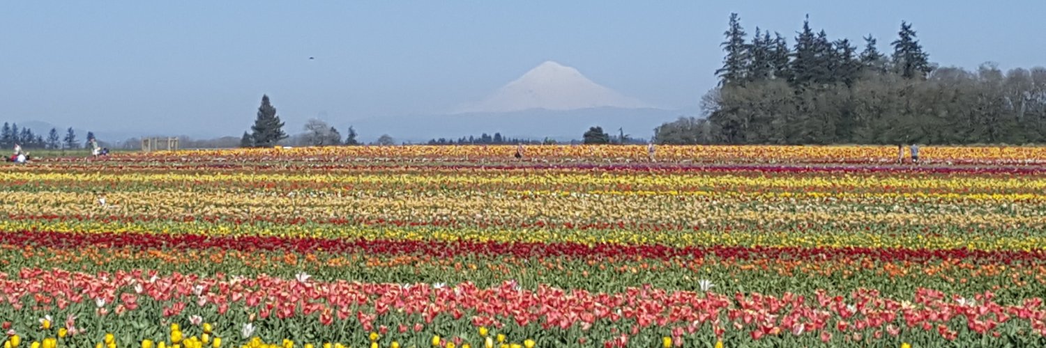
Look at that spin! This nearby low pressure system is bringing potential for severe thunderstorms.⛈️ The current clear skies will help warm the atmosphere, priming it for convection later. This video was captured of the GOES-W satellite from 8 AM - 12 PM PDT. #ORWX #WAWX
NWS Portland78,460 views • 1 year ago
No more content to load