Project '44
@project4_4 • 25,008 subscribers
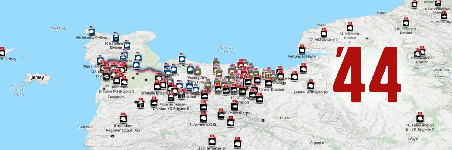
We map the Second World War. 150,000+ unit positions and 15,000+ war diary pages, every one traced to an original document. Free to explore
Shorts

Videos

84 years ago today, 4,963 Canadians went ashore at Dieppe. By early afternoon the beaches were back in German hands. Fewer than half the men came home. More than 910 were killed. 1,946 were taken prisoner, the largest single Canadian surrender of the war. This is Operation Jubilee mapped position by position, from the run-in to the last radio call off the beach.
Project '44459,482 Aufrufe • vor 8 Tagen

Flight Lieutenant Harry Cave flew 31 operations over Germany in a Lancaster and came home. Most men in Bomber Command never got that ending. Of every 100 who served, 45 were killed. Across the force, more than 55,000 aircrew died, over 10,400 of them Canadian. A man in a night bomber had worse survival odds than an infantry officer in the trenches of the First World War. Cave beat those odds. He joined the RCAF in 1941, reached 419 "Moose" Squadron in 1944, and flew a Canadian-built Lancaster against the hardest targets of the war. Duisburg. Dresden. Pforzheim. Chemnitz. Essen. Bergen. His last operation was Hannover in March 1945. Then he came home, married, and lived to 1994. Our 419 Squadron map is live, and it lets you fly every one of his 31 operations. Each one is animated along the real routes from the records, with a fully 3D Lancaster, 3D terrain, and a cinematic camera that flies with the bomber. Take the controls yourself, drop in low, and switch between day, night, period flight charts, and satellite views. It runs smooth on a laptop or your phone. Go fly his tour:
Project '4423,767 Aufrufe • vor 2 Monaten

One of the challenges that makes mapping from Second World War unit war diaries particularly difficult is the mapping system itself, specifically the coordinate grids and map projections used at the time. The British relied on several different map projection systems, each built on geodetic datums that were, by modern standards, imprecise. For northwest Europe, the two most relevant are Lambert Zone I, based on the Nouvelle Triangulation Française (NTF) datum and the Clarke 1880 ellipsoid, and Nord de Guerre, an older WWI-era grid based on the Ancienne Triangulation Française (ATF) datum and the Plessis 1817 ellipsoid. By 1944, Nord de Guerre was technically obsolete, but it still appeared as marginal reference ticks on many British-issued map sheets. These datums were derived from earlier triangulation surveys and predated the computational methods that would later allow for globally consistent, satellite-verified reference systems. Geodesy as a discipline was still maturing, and without computers, producing and correcting large-scale surveys was slow, laborious work, made harder by the fact that a war was actively being fought. The practical consequence for a theatre like Normandy was that available map coverage relied on conical projections, specifically Lambert Conformal Conic, rather than the narrower strip-by-strip Transverse Mercator projection that underpins the modern Military Grid Reference System (MGRS). Transverse Mercator projections perform well over narrow north-south bands but distort rapidly as you move east or west. Lambert Conic projections handle wider east-west extents better, which is why they were preferred for covering broad operational theatres. The tradeoff is that both introduce distortion of different kinds depending on where you are on the sheet, and that distortion was baked into every map issued to every unit. Layer on top of that the generalisation inherent in the most commonly available wartime maps, the GSGS 1:100,000 series. At that scale, features must be simplified: roads straightened, villages approximated, contours smoothed and errors compounded. In practice, positional inaccuracy across these sheets typically falls in the range of 100 to 200 metres, with worse outliers possible depending on the area and the source survey data. By modern standards that is significant. GPS-guided munitions rely on sub-metre accuracy, and calling close artillery fire with that margin of error would be genuinely hazardous to friendly troops. In the Second World War, those errors were real and unavoidable, and commanders and surveyors simply had to account for them operationally. When we mapped Project '44, we manually georeferenced each GSGS map sheet and stitched them together, tying the sheets to known, identifiable features on the ground. Done carefully, this process keeps positional accuracy near the lower end of that 100 to 200 metre range, but it cannot push below it. The original datum and projection errors, the generalisation of the source maps, and the inevitable human error in the georeferencing process all combine in ways that cannot be fully eliminated. There is a floor, and that floor is set by the accuracy of the original surveys. Over the last several days I have been working on a new approach to reduce that residual uncertainty and speed up the mapping workflow. It is a system of systems that brings together three reference layers in one interface. The first is the wartime grid systems, specifically the coordinate grids actually used in the war diaries, enabling direct input and plotting of grid references as they appear in the source documents. The second is the georeferenced GSGS basemaps, the original wartime maps georeferenced to a modern coordinate system, so a plotted grid reference can be visually cross-checked against the map the unit itself would have been reading. The third is a modern accurate basemap, a contemporary mapping layer using current satellite-derived data, for ground truth comparison. The idea is convergence across three independent references. Where all three agree, you have high confidence. Where they diverge, a human mapper can apply contextual judgment, drawing on terrain, road networks, and the unit narrative, to make the call on where the position actually was. The goal is faster, more efficient mapping without sacrificing interpretive rigour. Rather than automating the decision, the tool gives the mapper the best possible information to make an informed judgment about where a unit was and what they were doing.
Project '4424,974 Aufrufe • vor 3 Monaten

The new Masters of the Air trailer just dropped! Wow, its looking good! What does everyone else think?
Project '44116,247 Aufrufe • vor 2 Jahren

Keine weiteren Inhalte verfügbar