wxKobold
@wxKobold • 2,714 subscribers
Storm chaser and hobbyist meteorology researcher. Studies lightning, supercell behavior, tornadogenesis, solar weather. Also into astrophotography and solar wx.
Shorts


Videos


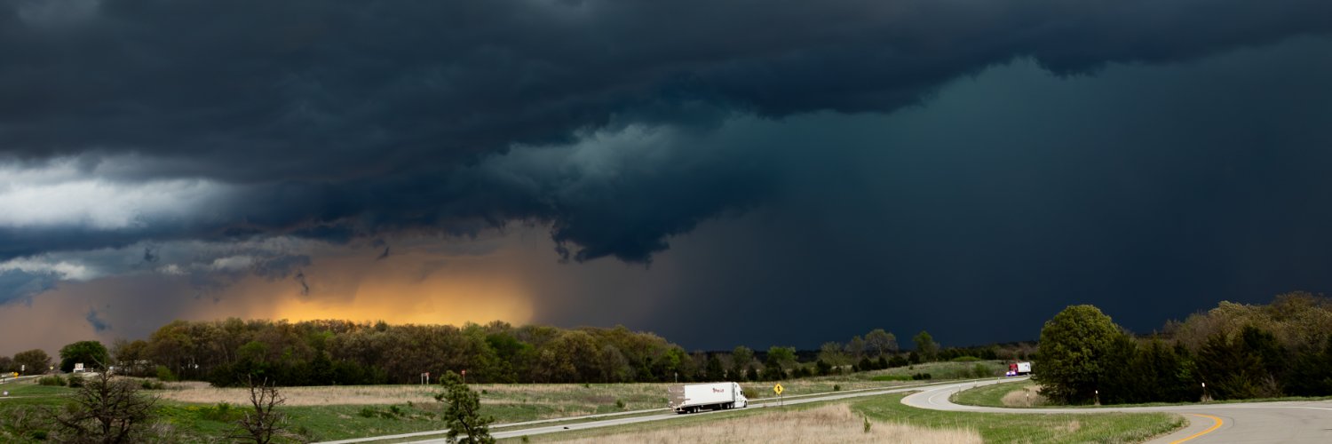
Birth-to-present storm-following loop of THE supercell that has produced tornadoes from Bonney, TX into southwestern LA. Included the initial development because it was a really interesting one. Really crazy supercell and an incredibly surprising one, to me #txwx #lawx
wxKobold66,733 Aufrufe • vor 1 Jahr

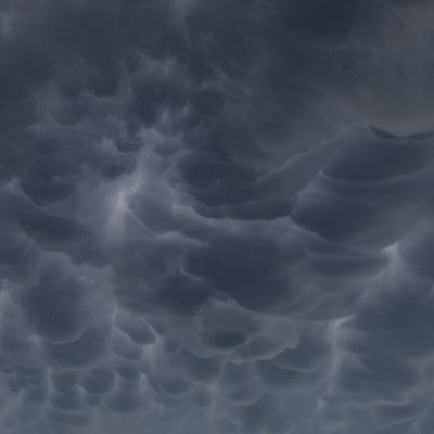
Storm-following birth-to-death loop of the supercell that produced the London/Somerset, KY tornadoes last night. This is a re-upload since the algorithm obliterated the 4-panel loop beyond recognition, I think with only two products the compression may be less harsh.
wxKobold46,991 Aufrufe • vor 1 Jahr


Wow, what in the world is this absolutely cursed solar flare/eruption from June 2011
wxKobold19,230 Aufrufe • vor 4 Monaten
Keine weiteren Inhalte verfügbar