Загрузка видео...
Не удалось загрузить видео
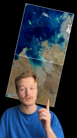
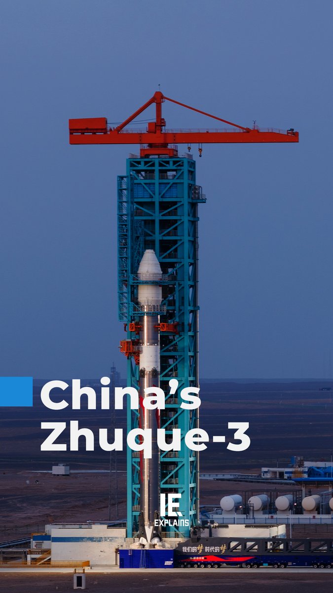
A satellite built to measure forests can also see five metres under the sand of the Sahara. Biomass carries the first P-band radar ever sent into orbit. Long waves pass through what short ones bounce off. Leaves, clouds, sand. Its real job is measuring the wood where a forest... show more

18,051 просмотров • 3 дней назад •via X (Twitter)
Комментарии: 15

Making this data openly available is a huge step.

Long wavelengths really change the game.

One mission, multiple layers of Earth revealed.

long wave propagation making leaves and sand equally transparent from 660 km up

Great stuff !!!

The Sahara looks very different when you can see beneath it.

This is a powerful reminder that satellites can do far more than take pictures.

Seeing beneath sand from orbit sounds like science fiction.

Earth observation just keeps getting more impressive.

From measuring biomass to mapping buried landscapes — fascinating.

Open data could unlock discoveries we haven’t even thought of yet.

Space-based sensing is giving us a whole new perspective on the planet.

There’s so much information hiding beneath the surface.

This could be incredibly valuable for researchers worldwide.

The intersection of climate science and remote sensing is fascinating.