Загрузка видео...
Не удалось загрузить видео
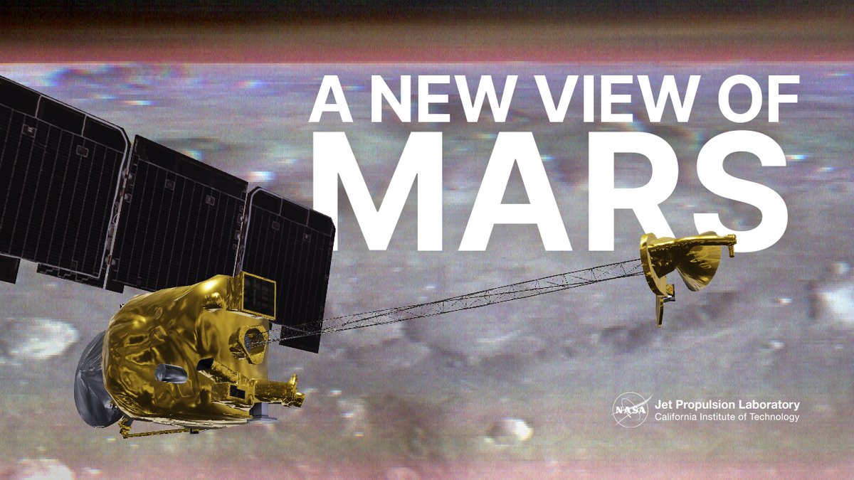
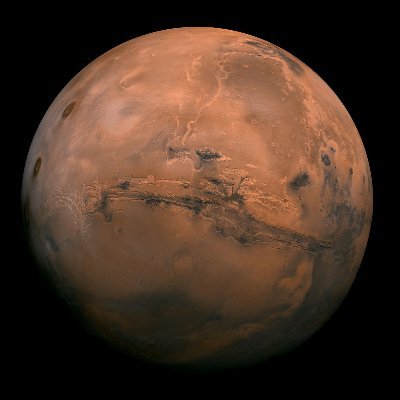
Both scientists and the public can navigate a new global map of Mars that shows cliffs, craters, and dust devil tracks in mesmerizing detail. It uses a mosaic composed of 110,000 images from NASA’s Mars Reconnaissance Orbiter. See more and try it yourself:
217,785 просмотров • 3 лет назад •via X (Twitter)
Комментарии: 10

Oh my... this is beyond wonderful, thank you! (going to have to tear myself away from this or I will get no writing done at all!)

When I talk to founders, they often face these challenges: - Bloat in products or processes. - High-maintenance, low-value customers. - Meetings with minimal ROI. - Difficulty prioritizing high-impact work. The solution? Power law audit your biz... Start here: #Leadership #Efficiency

So now we have Google Mars.

Do we have street view yet?

#AskNasa I'm not real smart but...in certain things Is there a way to remove the navigational names, taking up most of image? My navigational experience is pretty cool 😎 bookmarked it

I love it!

@NASASolarSystem Import data into Kerbal Space Program please

If you have 3d data with those pictures, maybe walking/flying around in there in VR would be nice. I did this the the Mars rover Demo that was like 20x20 m2

Isn’t it amazing how we are fascinated by this dead planet that is Mars while we pollute ours with little distinction

This is so awesome! Absolutely mind blowing!