Video wird geladen...
Video konnte nicht geladen werden
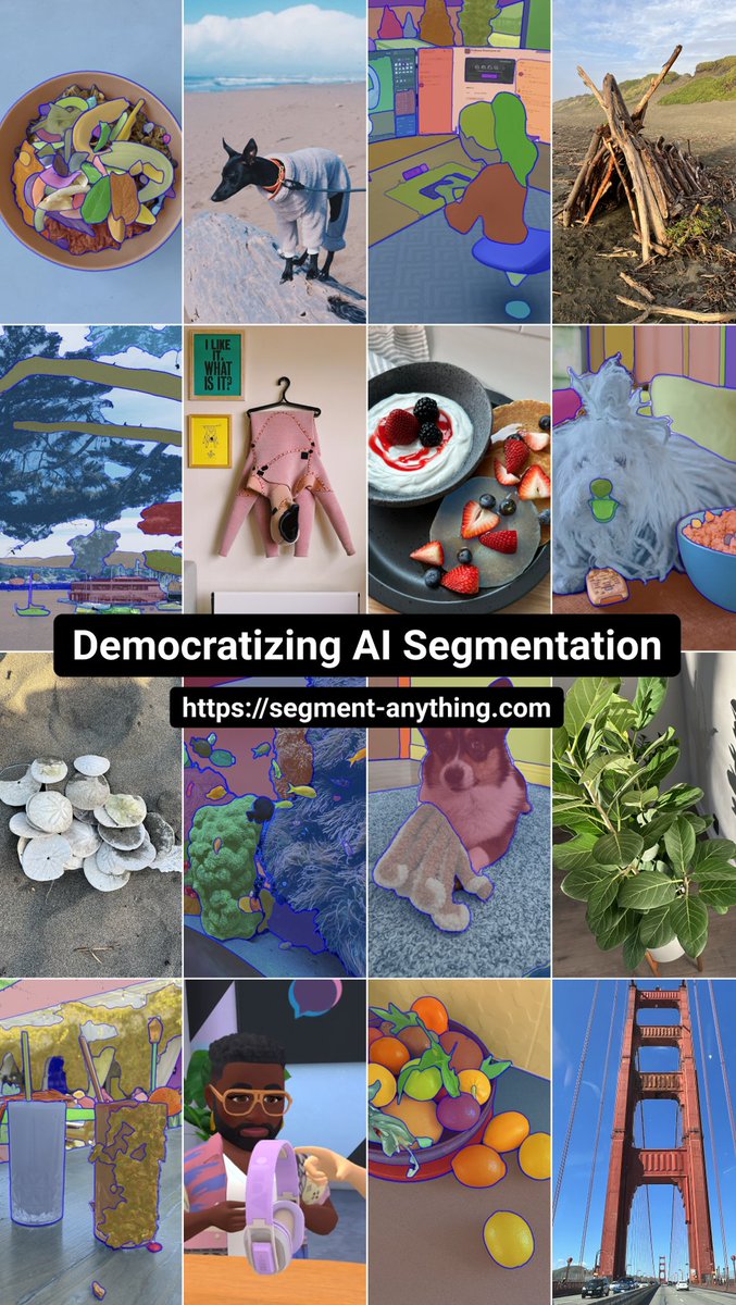
🚀 Excited to share a new tutorial on how to detect buildings 🏘️using the Segment Anything Model 2 (SAM 2) with Segment-Geospatial! You can choose interactive segmentation or utilize a GeoJSON file with building centroids or bounding boxes to do automated building detection. 📹 Check out the video tutorial:... show more

72,345 Aufrufe • vor 1 Jahr •via X (Twitter)
10 Kommentare

FireMap.live 🔥🌎vor 1 Jahr
Amazing how things have improved with image segmentation since eCognition came out

Gerritvor 1 Jahr
This is amazing work! Keep it up!

Miguel Guerrerovor 1 Jahr
thanks! always awesome content and learning

Aleix Canetvor 1 Jahr
@ograuc

neurallambdavor 1 Jahr
@ChiasticChaos This is exactly(ish?) what you were asking about!

1dolvor 1 Jahr
looks great -- what's your favourite use case so far?

sidvor 1 Jahr
Can you model Square Footage of the buildings/locations with 80%+ accuracy? Use case: Input location address and output SQFT?

Danish Khanvor 1 Jahr
This is awesome

JonathanAlisvor 1 Jahr
Can I just bound box the full image, and it will get all the building masks?

Qiusheng Wuvor 1 Jahr
No. See this bbox example.