Loading video...

Video Failed to Load

Go Home

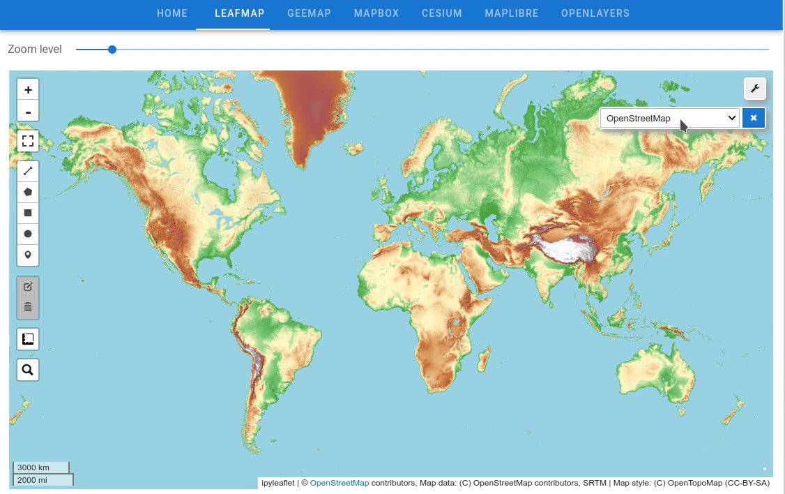
Searching and visualizing #AWS Open Data using leafmap. The web app is built upon #Solara with pure Python. It has native support for #ipywidgets with directional communication between the frontend and backend 👇 Web app: GitHub:

20,667 views • 3 years ago •via X (Twitter)

6 Comments

Nadine Alameh (also @thenadinesa.bsky.social)'s profile picture
Nadine Alameh (also @thenadinesa.bsky.social)3 years ago

🔥

Kairewah's profile picture
Kairewah3 years ago

This looks great! Would be helpful too if there are more how to use the platform videos.

Qiusheng Wu's profile picture
Qiusheng Wu3 years ago

Yes, I plan to create some video tutorials later this week when I have time.

Nazia Aftab's profile picture
Nazia Aftab3 years ago

Wow

Diogo Caribé's profile picture
Diogo Caribé3 years ago

Can I put this sigwebpage into dash (python package)? Seeming in interesting

Qiusheng Wu's profile picture
Qiusheng Wu3 years ago

You can embed it into other webpages through iframe

Related Videos

🚀 GeoLibre just passed 5,000 stars on GitHub, in only two months! GeoLibre went public on May 27, and the community has already pushed it past 5,100 stars and 500+ forks. Thank you to everyone who starred, forked, filed issues, opened pull requests, and shared the project. For those just discovering it: GeoLibre is a free and open-source, lightweight, cloud-native GIS platform for visualizing, exploring, and analyzing geospatial data. It runs everywhere you do, in the web browser, on the desktop, on mobile, and inside Jupyter notebooks, all while keeping your data local and private. Key features of GeoLibre: - Runs anywhere: the same app ships as a native desktop app, a browser web app, a native Android app, and a Jupyter widget. - Local and private by default: load and analyze GeoJSON, GeoParquet, GeoPackage, Shapefile, COG, LiDAR, 3D Tiles, and more, right in the browser. - Powered by open source: built on MapLibre GL JS, DuckDB-WASM Spatial, Tauri, React, and TypeScript. - Spatial SQL in the browser: query your data with DuckDB Spatial, PostGIS via PGlite, and Apache Sedona. - Extensible: a growing plugin system for cloud data, federal web services, and custom tools. - Supports 12 planetary basemaps: Earth, Mars, the Moon, Mercury, Venus, and more. Two months in, we have already shipped 25 releases, the latest being v2.4.0. There is a lot more to come, and the best way to shape it is to jump in. Try it out - Launch GeoLibre Web: - GitHub: - Documentation: - Release notes: If GeoLibre is useful to you, a star on GitHub and a share here go a long way. Thank you for an incredible first two months. #geospatial #opensource #MapLibre #GeoLibre

Qiusheng Wu

94,422 views • 1 month ago