Загрузка видео...

Не удалось загрузить видео

На главную

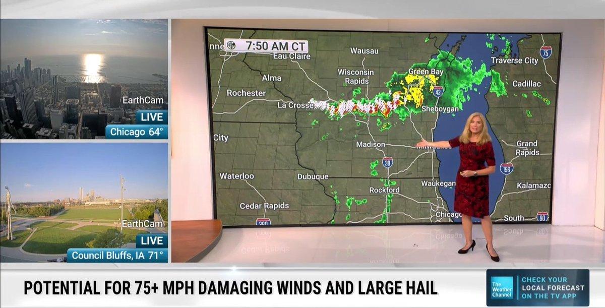
STORM TIMING: No major changes to the forecast for tonight. Thunderstorms will move into most of North Texas very quickly after 9pm. The strongest parts, along the leading edge, of this complex of storms could have 70-80+ mph wind gusts. Not everyone will see winds that strong.

69,729 просмотров • 1 год назад •via X (Twitter)

Комментарии: 9

Фото профиля Rebecca González
Rebecca González1 год назад

Does this mean we should NOT sleep close to a window? And definitely not upstairs? What other precautions do we need to take?

Фото профиля Page to Pixel Publishing
Page to Pixel Publishing2 лет назад

The Art of Flight is a homage to 80s/90s arcade action shmups with a fresh twist on the genre. Pilot multiple ships at the same time to take on oncoming waves of enemies in this fast paced space shooter. Wishlist on Steam today!

Фото профиля DMJ
DMJ1 год назад

any chance this weakens by time it gets to dfw

Фото профиля Travis Lofley 🌵
Travis Lofley 🌵1 год назад

Pete, how are we feeling about any chance of the cap being a factor tonight? Even if it's not fully in place, could we see a weakening of the line as it rolls into the metroplex?

Фото профиля rob h
rob h1 год назад

I think everyone wonders where are the most likely areas to see those winds. Is that piece forecastable?

Фото профиля Jon Mamba
Jon Mamba1 год назад

I'm guessing that big area of pink is hail?? 😯

Фото профиля Mackey Sasser
Mackey Sasser1 год назад

Chances of a derecho?

Фото профиля haunt
haunt1 год назад

how safe is garland 🙏🏽

Фото профиля Kerry Dove
Kerry Dove1 год назад

Do you anticipate inbound flight delays?

Похожие видео

Wednesday, March 4, 2026, 6:55 AM: A series of strong to moderate wind events. The first wind event will impact not just Northern California but also Central and Southern California in the next 72 hours. Let me explain. The initial wind event will affect Northern California as a surface cold front crashes through, with north winds gusts reaching 45 to 60 mph. This particular wind event will impact the Napa, Santa Rosa, and San Francisco regions from Wednesday noon through about 1 PM Thursday, when the cold front moves down into Bakersfield, kicking up dust and debris and potentially causing issues on the 5 Freeway and 99. This will likely have impacts later tonight through Thursday. Meanwhile, in Southern California, northwest wind gusts are projected to reach 40 to 55 mph, possibly causing trees to fall and powerlines to collapse early Thursday morning and continuing through Thursday night. This will also affect Long Beach, California, which is quite unusual for these events. A secondary low-pressure axis will take shape, arriving on Saturday at 4AM to Sunday at 12PM positioning itself near Yuma, Arizona. This atmospheric setup with allow asurface high over Santa Cruz, California of a 1025 millibar high will create ideal conditions for a strong and potentially strong Santa Ana wind event for Southern California particularly the corridor from Santa Clarita to Camarillo around 55 to 65 mph, creating potential for destructive power lines to come down. Unfortunately, this very strong wind will cause mountain waves in the San Fernando Valley and Malibu region. The good news is that we will not see significant fire activity due to the recent tremendous rainfall we experienced in mid February 2026 and in December 2025. However, Saturday 2AM - 9AM there is concern that we could see even isolated stronger winds in Altadena and Pasadena that could exceed 65 MPH gusts. I am closely monitoring the situation, as this very windy period will also affect Las Vegas and parts of Arizona with gusts of 45MPH - 65 MPH. If you are traveling in those areas, please be aware of blowing dust and debris on highways. #CAwx

Jason D Farhang

14,967 просмотров • 4 месяцев назад