正在加载视频...
视频加载失败
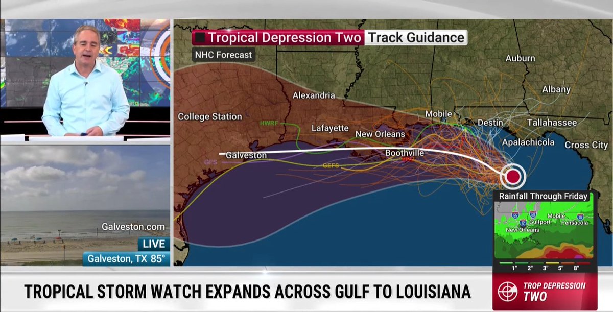
TEXAS FLOODS-Here’s a radar loop from the main event. From Thursday afternoon, July 3rd, through Sunday evening, July 6th. A leftover “plume” of tropical moisture from the remnants of Tropical Storm Barry surged north into the state, in combination with elevated moisture from the eastern Pacific from Hurricane Flossie.... show more

12 条评论

This is a great explanation. Thank you. I know it's been so hard for everyone. You can kinda feel lost and helpless. Prayer does work. That's all I can do. Thank you for putting out the things you have. It's greatly appreciated. 🙏♥️

Looks like Geo engineering/weather manipulation/genocide

Thank you for this. Also, please let folks know that they can sign up for alerts from LCRA for floodgate openings. LCRA opened some gates at Wirtz and Starke dams. Notices

People should NOT bet against the Plans & DETERMINATION of those of the Proven MULTIVERSE. Look back at max velocity’s daily ‘so-called forecast’ videos on YouTube he said of TROPICAL STORM Barry that Barry would NOT impact the USA then he said more than once that Barry was gone.

Apparently, tropical depressions can form over land.

Collin, you’re forgetting an abundance of cloud seeding. Is #RainMaker paying you too?

Great explanation

You are obligated to lie - there is a federal NDA all meteorologists are required to sign

Just out of curiosity, if your area is put under a flash flood warning, do you take it seriously and change how you would go about your normal day? I’ll be honest, if I see a flash flood warning for my area, I don’t really think twice about it. In fact, on all my radar apps I have FFW disabled so it doesn’t clutter my radar. I fully believe this is a messaging issue. A county road with 1 inch of water on it is not the same as a 30 foot wall of water rushing down a normally dry creek, yet both get the same warning. I’m not sure how to fix this, but wanted to open this up to have dialogue on what can be done to improve this. I am truly interested in hearing what the general public has to say. ***If you make some political post, or conspiracy post you’ll be blocked immediately. I don’t have time for people that don’t have a working brain cell in their head.

Chapel Hill, Durham, and surrounding areas in North Carolina areas are dealing with a 500-1,000 year rainfall event for this area after nearly a foot of rain felled from the remnants of Chantal.

Best video yet of the flooding in Texas.

Tracking a new flood this morning near Kempner, Texas down the Lampasas River after 5-7 inches of rainfall from a new mesoscale convective complex. Day 4 of flooding rains have been hampering the massive relief effort by the @Unitedcajunnavy , other volunteer groups and officials. We are tracking new flash flood warnings near the Brady, Texas area