Video wird geladen...
Video konnte nicht geladen werden
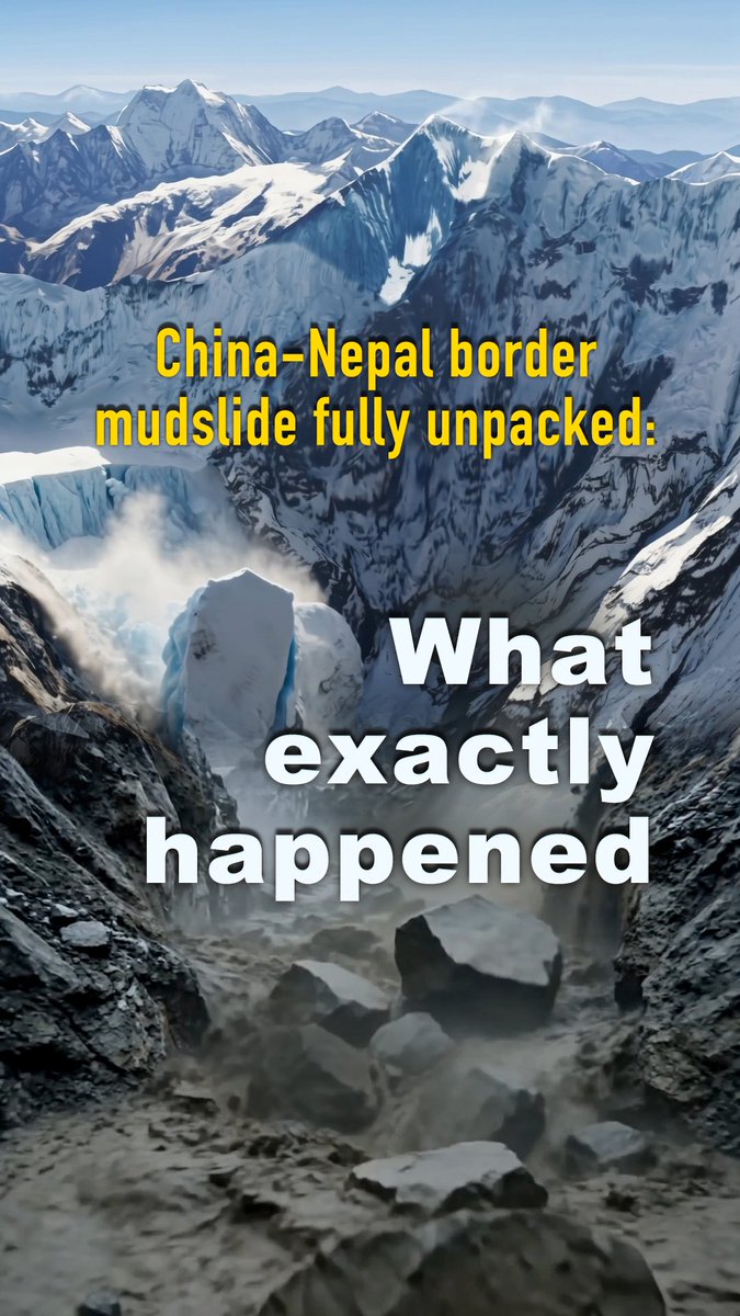
The deadly avalanche in Nepal was initially reported as a glacier collapse. Clearer satellite imagery now shows it was the mountain itself that broke off. Geomorphologist Kristen Cook says "the rock that the glacier was sitting on collapsed," carrying ice and boulders into the valley and triggering the destructive... show more
96,416 Aufrufe • vor 1 Monat •via X (Twitter)
31 Kommentare

You hear that? It’s the sound of a million X posts being deleted by the climate doomers that the flood happened bc we eat steak once a week.

Science must look for direct physical reasons for a specific collapse but educated people understand that all mountains erode and collapse in the long run. Tectonically active uplifting ranges like the Himalayas and Andes experience more catastrophic events than ancient ones.

In other words, climate change had zero to do with it.

Sat imagery most certainly does not show that. Two things are clear. X and google are working to draw people to the collapsed bedrock theory, and AWAY from noticing straight lines. I notice the UNNATURAL straight line.

Celebrating "bedrock failure" like it’s a win for denialists, completely oblivious to the fact that high-alpine geomorphologists track these exact rock-ice avalanches as textbook indicators of CLIMATE destabilisation. Rock collapsed because thermal change of the glacier on top!

And CLIMATE ALARMIST say; "Ooooops"

Clever place to locate a settlement really.

Climate alarmism is an unfalsifiable religious non-theory. A scientific theory has to have some condition or circumstance that would prove it is false. For these cultists, every event proves climate change. There is nothing that would disprove it.

Bedrock failure doesn't disprove climate change it's actually a sign of it. High altitude rock walls are bound together by permafrost. When temperatures rise that frozen glue thaws and melting glaciers remove physical support from the cliffside causing the rock itself to give way

Hydroelectric dams cause flash flooding by diverting natural water courses. Xizang the highest altitude dam constructed 2025 with rapid expansion. Mudslides and landslides triggered by heavy Monsoon Rains.

Your forgot one major fact... That China caused this disaster by boreing tunnels and blowing shit up.. that's why a large pop was heard before the glacier broke off..

Check for detonation, and sharp, sudden seismic activity.

Yep the extra weight of the Glacier broke the rock.

It's because there was TOO MUCH ICE ON TOP.

Can't ignore this part:

Not a glacier collapse, the mountain bedrock failed first

@andyburnham Why are you doubling down on your climate lunacy again?

Climate change freaks are in shambles.

All those people in the video are dead. Buried under the mountain of mud. Sad.

As the communists say Never let a good disaster go to waste

That is misleading garbage from electroverse

This exact thing happened in a (fortunately) sparsely populated area of Alaska. In the 60s or so, I think. A huge rockfall triggered an immense tsunami in the river valley below. Can’t remember exactly, but I think hundreds of feet of water were measured by the debris field.
We will see more of these disasters as climate change melts mountain sides. Thats why American denial of climate change because of greed is so callous

What held that rock in place?

Nepal demands compensation

山体本身是冻土,是由水冰和砂石混合在一起的物质,其中的水冰以胶体冰和层状冰形式存在,像胶水一样抓着砂石彼此,气温的升高会让其中的水冰融化,砂石间的握力越来越小。十年前的地震有可能让这里有些许松动,但这里的冰层逐年融化可能才是重要触发原因。

Only the flooding part comes from the glacier. Got it.

The death toll from devastating floods in Nepal has risen to 1,050, while around 4,000 people remain missing and a large-scale rescue operation involving teams from Nepal, China and India is continuing.

Started posting last year, very close to what has been suggested by other posts in last week since satellite imagery became available. Missing retreat of glacial ice that used to block overhang from dropping. Always like the way these accounts take you to the edge without explaining why the edge.

cuz they built a hydro plant on/next to the glacier
Entä maanjäristys,miksi se salataan,muka ilmaston lämpeneminen aiheutti,glopojen valetta?


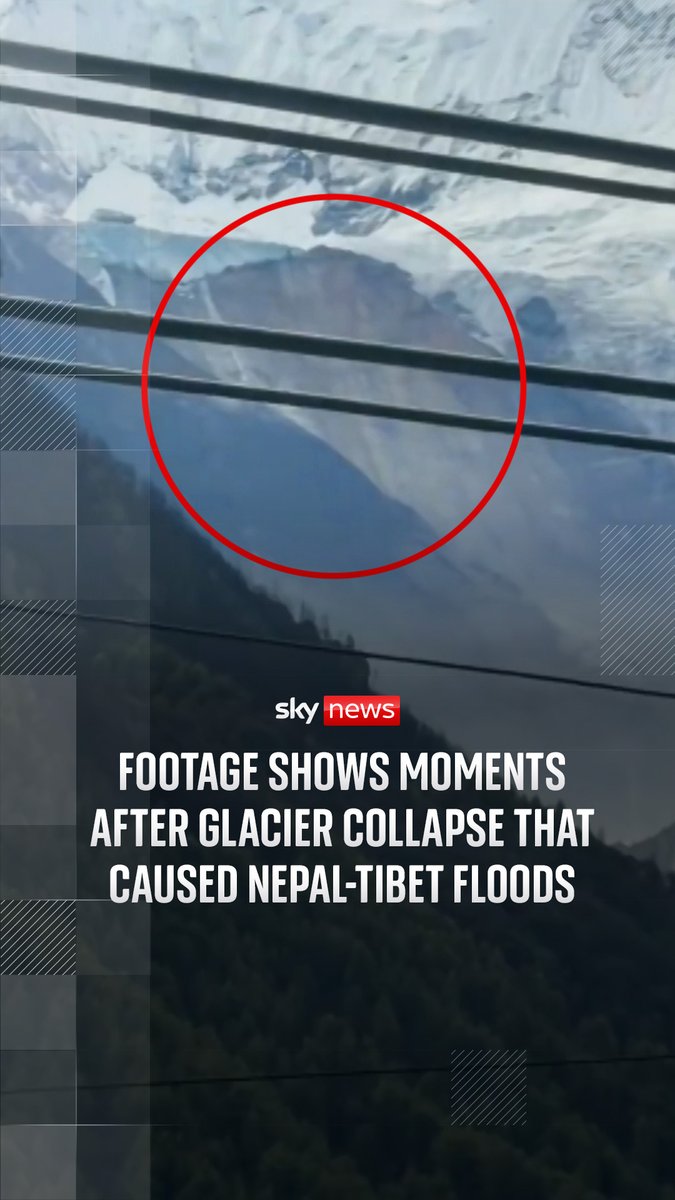

![Scientists now believe the catastrophic flash flood on the Nepal-China border that left more than 353 people dead and over 1,300 still missing was caused by a 2,000-foot-wide chunk of ice that broke off a glacier and fell to the valley below. This is known as a glacier collapse. The immense block of ice plummeted 4,000 feet down, pulverizing on impact and mixing with mud and rocks to create a fast-moving, 250-foot-tall wall of debris that tore through riverside settlements at speeds of 44 mph. The sheer force of the landslide was so immense that it generated a 5.2 magnitude earth quake. [The initially video I shared, which has been taken down was from a different glacier collapse that occurred in Chile].](https://image.24vids.com/tw-2092945950721355966/amplify_video_thumb/2092945925165428736/img/RwRFwNpdDin4DqMe.jpg)