Video yükleniyor...

Video Yüklenemedi

Ana Sayfaya Dön

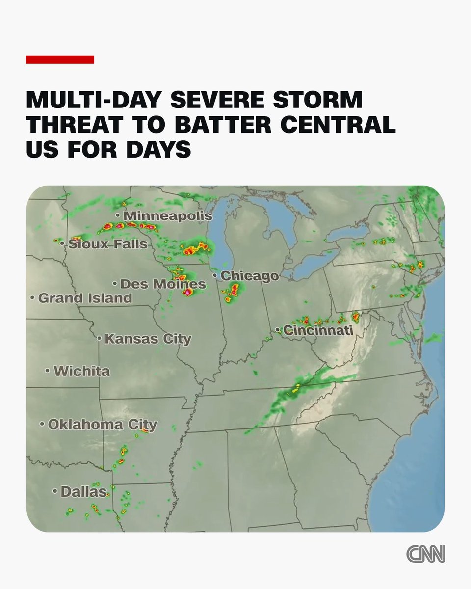
Tornadoes and severe storms return Thursday and this kicks off a multi-day threat that extends into next week. Be safe!

29,575 görüntüleme • 1 ay önce •via X (Twitter)

0 Yorum

Yorum bulunmuyor

Orijinal gönderinin yorumları burada görünecek

Benzer Videolar

Christmas Eve and Christmas Day feature the most impressive severe thunderstorm setup I’ve seen along the California coastline in at least a decade. The first round of isolated severe thunderstorms will come ashore tonight, bringing the threat of a isolated tornado and severe wind gusts over 60 mph from the Central Coast up to Humboldt County. The severe weather threat then expands into the Central Valley during the afternoon, California’s tornado alley, with the potential for isolated tornadoes, damaging winds, and even large hail. The threat then shifts south into Southern California tomorrow, where isolated severe wind gusts and a brief tornado will be possible. However, Christmas Eve into Christmas morning features the most potent severe weather environment of the week and could lead to a severe thunderstorm outbreak along the coastline from the Central Coast up to the North Coast. The combination of strong low-level and deep-layer shear with sufficient instability is rarely seen in this part of the world. I seriously cannot recall seeing Significant Tornado Parameter (STP) values exceed 3 along the California coastline. The peak threat window appears to be from 10 PM Thursday to 8 AM Friday. It would not be out of the question to see a Severe Thunderstorm Watch issued Christmas Eve night with the potential for a couple tornadoes and scattered severe wind gusts. I also believe this may be the first time on record that San Francisco has been placed under a Marginal Risk for severe thunderstorms in the Day 1–3 NWS Storm Prediction Center Convective Outlooks.

Colin McCarthy

68,544 görüntüleme • 5 ay önce