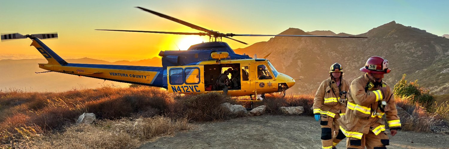
VCFD PIO
@VCFD_PIO • 62,515 subscribers
VCFD incidents and information for media and public. All photos uploaded are ok to use by media.
Shorts


Videos

#HighSurf - Watch when a rogue wave hits the beach at the end of Seward Ave in the City of Ventura. This occurred during the high surf advisory at high tide. Because of this wave eight people were transported to local hospitals. Currently the beaches are closed in Ventura County and so is the Ventura Pier. For your safety, please avoid the area near the ocean, as it can be quite dangerous. Video credit: Ventura Police Department and the City of Ventura. Ventura Police City of Ventura #rougewave #highsurf Ventura County Fire
VCFD PIO1,259,690 просмотров • 2 лет назад

#SandyFire Operations Update The fire is currently mapped at 1,385.6 acres with 5% containment. More than 750 firefighters are assigned to the incident and continue working aggressively to strengthen containment lines and protect threatened communities. The attached video includes this morning’s operational briefing from Captain Heath. Evacuation warnings remain in place. For the latest evacuation information and updates, please visit County of Ventura SVPD City of Simi Valley
VCFD PIO53,552 просмотров • 1 месяц назад

#SandyFire update - Ventura County firefighters and our mutual aid partners continue aggressive suppression efforts on the Sandy Fire south of Simi Valley. Crews are actively working to strengthen containment lines and hold the fire along the southern and eastern portions of the incident while aircraft support ground operations in steep and difficult terrain. The fire is currently mapped at 1,659 acres with 15% containment. Approximately 900 firefighters remain assigned to the incident working around the clock with helicopters, air tankers, bulldozers, firefighters and hand crews. Evacuation information is continually being updated. Visit for the latest evacuation orders, warnings, and incident information. City of Simi Valley SVPD Ventura County Sheriff Ventura County Sheriff OES VenturaCoAirUnit
VCFD PIO24,157 просмотров • 1 месяц назад

Sandy Fire Air Monitoring Update - Due to the Sandy Fire’s proximity to the Santa Susana Field Laboratory (SSFL), hazardous materials and radiological monitoring teams continue proactive air quality and radiation monitoring operations around the fire area. Currently, seven air sampling radiological monitoring locations have been established surrounding the incident, including the Chatsworth, Lake Manor, Bell Canyon, Oak Park, and Simi Valley areas. These monitoring systems are being used to establish background environmental conditions and to continuously evaluate smoke and air quality conditions as firefighting operations continue. The Sandy Fire has NOT reached the Santa Susana Field Laboratory property, and there is currently no indication that any radiological material has been released from the site. The attached drone video shows the current fire perimeter in relation to the SSFL area. Public health and environmental agencies, including Ventura County Public Health, the Los Angeles County Department of Public Health, California Department of Toxic Substances Control (DTSC), Ventura County Air Pollution Control District, and the U.S. Department of Energy, remain actively engaged in monitoring conditions and supporting incident operations. The U.S. Department of Energy is supporting air monitoring operations around the SSFL out of an abundance of caution. Radiation measurements collected as recently as 2025, along with modeling conducted following the 2018 Woolsey Fire, continue to indicate that the extremely low levels of residual radioactive material at the site pose no risk to public health, even in the event wildfire activity reaches the area. The SSFL is located in an area historically prone to wildfires, including the 2018 Woolsey Fire. Following that fire, air, soil, and ash sampling conducted by DTSC did not detect the release of chemical or radiological contaminants from the site. Additionally, radiological assessments conducted by the Los Angeles County Department of Public Health found no discernible levels of radiation in tested areas surrounding the site. Residents can continue monitoring local smoke and air quality conditions using the AirNow Fire and Smoke Map: About the video: The background map shows the drone location as a circle with a blue arrow. The blue line shows the flight path of the drone, while the moving polygon represents the area the drone camera is viewing. The left screen displays the thermal imaging view, and the right screen shows the normal video footage. This video demonstrates that the fire did not reach the Santa Susana Field Laboratory property. Los Angeles County #LAFD Talk 💬 County of Ventura SVPD City of Simi Valley Ventura County Sheriff
VCFD PIO20,684 просмотров • 1 месяц назад

#SandyFire morning operational update with Chief Trevor Johnson: The Sandy Fire is currently 2,114.5 acres with 30% containment. There are 1,121 firefighters assigned to the incident. Firefighters are expecting improved weather conditions today, including lower temperatures and higher humidity, which should assist suppression efforts. Today’s operational priority is the lower southeast corner of the fire, where crews are working to strengthen and reinforce containment lines. Firefighters continue hiking through rugged terrain to build control lines and mop up hotspots, while aviation resources assist with water drops to cool active areas. Crews are also continuing mop-up operations in neighborhoods behind homes to ensure complete extinguishment. Damage inspection teams remain in the field documenting any impacts caused by the fire. To stay informed on evacuation warnings and orders, visit Los Angeles County LAFD 🔥 LAFD 🔥talk County of Ventura SVPD City of Simi Valley Ventura County Sheriff OES Ventura County Sheriff
VCFD PIO17,734 просмотров • 1 месяц назад

#lagunafire; Forward progress on the Laguna Fire has been stopped as of approximately 11:30am. The fire has been held to 50 acres. Nearly 200 firefighters remain on scene working to mop up remaining hot spots and work to increase containment. The evacuation order for CSUCI has been reduced to a warning. No structures were destroyed or damaged by this fire. Video: Handcrews and engine companies putting in handling and extending hose lines on division A and Z of the Laguna fire.
VCFD PIO41,942 просмотров • 1 год назад
#lagunafire #VCFD and our partner agencies Ventura City Fire, Oxnard Fire, and Federal Fire Ventura County continue an aggressive attack on the fire burning off Laguna Road in the Oxnard plains. The fire is currently estimated at 15 acres. VCSO has issued evacuation orders for the Cal State Channel Islands Campus and fire resources are in place evaluating any potential structure threats. Residents are encouraged to follow and download the Watch Duty app for the latest evacuation updates and fire information. Video: Inside one of our Firehawk helicopters involved in water dropping operations over the fire.
VCFD PIO40,706 просмотров • 1 год назад
#RanchoFire forward progress of the fire is stopped. Good progress is being made on the brushfire, which is now approximately 13 acres. The fire is located on the right-hand side of the southbound 101 freeway at the 23 freeway. Hose lines have been extended, and helicopters are making water drops at the head of the fire. Right now, bulldozers are ringing an outer perimeter as a contingency line. County of Ventura VenturaCoAirUnit LACoFD LAFD 🔥 Ventura County Sheriff
VCFD PIO46,238 просмотров • 1 год назад

The Ventura CountyThe Ventura County Fire Department urges residents to prepare for a forecasted wind event beginning Monday afternoon. According to the National Weather Service, a Particularly Dangerous Situation (PDS) wind event is expected to impact Ventura County from Monday, December 9, through Wednesday, December 11, accompanied by a Red Flag Warning. Forecast Details: Timing: Winds will begin Monday afternoon, peak early Tuesday morning, and gradually diminish by late Wednesday. Wind Speeds: Sustained winds of 35 mph, with gusts up to 60 mph. Humidity: Extremely low relative humidity levels of 5%-7%, with no overnight recovery. While most of Ventura County will experience strong winds, Thousand Oaks, Piru, and Fillmore are forecasted to experience the most intense conditions. Take precautions now and review the Ready, Set, Go! program at: County of Ventura Ventura County Sheriff
VCFD PIO37,576 просмотров • 1 год назад

VCFD firefighters are on scene of an electric vehicle fire in the 11600 block of Ventura Avenue, Ojai, involving thermal runaway—a challenging and hazardous condition. Thermal runaway in EV fires poses unique risks to responders, the public, and the environment. The safest approach is often to let the battery burn itself out while firefighters manage the situation from a safe distance, as direct extinguishment can sometimes exacerbate the fire. County of Ventura Ventura County Sheriff
VCFD PIO31,257 просмотров • 1 год назад
#RanchoFire UPDATE: As mentioned in the last post, forward progress has stopped. Hand crews and engine companies have established a containment line around the fire, connecting with the wide bulldozer lines. Resources, including helicopters and fire engines, are starting to be released. Firefighters are now 100% focused on mopping up, ensuring every hotspot will be extinguished tonight. County of Ventura VenturaCoAirUnit #LAFD Talk 💬 LACoFD Ventura County Sheriff
VCFD PIO31,284 просмотров • 1 год назад

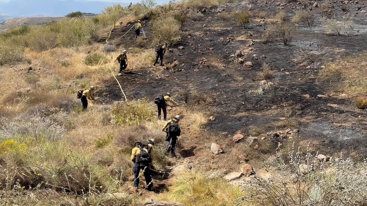
#autofire; The Auto Fire is now at 50% containment and 61 acres. Overnight, firefighter addresses small, isolated flare ups and stubborn pockets of heat across the fire perimeter. The fire remains static in its original footprint with no anticipated growth. Today, firefighters continue patrolling and reinforcing containment lines as well as addressing deep seated smoldering brush piles well inside the perimeter. Resources from VCFD and Ventura City Fire include Type 3 and Type 6 engines, a hand crew, water tender and one of our UAS / Drone pilots. Firefighters will remain on scene until this fire is fully contained. An IR flight of the fire by one of our UAS / Drone pilots shows the pockets of heat firefighters are working to address. The cause of the fire is still under investigation.
VCFD PIO18,742 просмотров • 1 год назад


#VCFD along with our partners at Ventura City Fire, Oxnard Fire and Santa Paula PD responded to a working structure fire in Santa Paula this morning. Arriving crews were met with heavy smoke and flames showing from the residence with reports of a victim trapped. FFs conducted a rapid and aggressive primary search to locate the victim who was ultimately discovered to have escaped on her own. 2 patients were treated for minor injuries and transported to an area hospital. The cause of the fire is still under investigation.
VCFD PIO11,736 просмотров • 1 год назад
Больше нет контента для загрузки