Over the Reality 🌐
@OVRtheReality • 91,205 subscribers
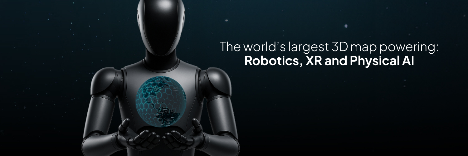
The world's largest 3D map. Earn $OVR by mapping real-world locations to fuel Robotics, Vision AI, and XR Become a mapper: https://t.co/4XlxLAfAk7
Shorts


Videos

Today, we’re launching a new capability that connects everything we’ve been building directly to the robotics world: free USDZ export. Turn any real-world space into a robot training ground. For FREE. Capture with your smartphone or a 360 cam → get a simulation-ready USDZ (Gaussian splat + aligned mesh) → drop it straight into NVIDIA Isaac Sim. No LiDAR rig. No sales call. 🧵👇
Over the Reality 🌐28,375 次观看 • 3 天前


Large-scale Gaussian splats have reached a new level of realism. This is a well-known temple in Bangkok, reconstructed as a high-fidelity 3D environment from 360 captures. At this level, the boundary between video and 3D starts to disappear. But what you’re looking at is not a video. It’s a dense spatial representation of a real place, where geometry, texture, and structure are preserved and made machine-readable. This kind of 3D data can power Visual AI, Robotics navigation, VPS localization, XR experiences, world models, and next-generation spatial computing systems. Built with Over the Reality.
Over the Reality 🌐347,044 次观看 • 2 个月前


Another city. Another full 3D Gaussian Splat reconstruction. This entire neighborhood was captured while walking with an Insta360 X5, then processed with our GPU pipeline and transformed into a high-fidelity, machine-readable 3D environment with Over the Reality. What you’re seeing is not an isolated virtual world. It’s a 3D digital twin of a real-world location, built from structured spatial data where every building, street, and detail can become usable by AI, robotics, and XR. And it’s happening at scale, across cities in more than 180 countries every day. Have an Insta360 X5 and want to become a mapper? Apply here: Want to build a 3D Gaussian Splat from a video you already recorded? Do it for free at powered by Over the Reality.
Over the Reality 🌐400,097 次观看 • 2 个月前

The physical world is becoming a new digital layer for Robotics, AI, and XR. With Over the Reality, you can help build it. Every place you visit can become a 3D map that powers this new infrastructure, simply by scanning it with your phone. And every location you map unlocks rewards, turning your daily walks into earnings or vouchers you can use everyday. It’s free to start. Comment “map” and we’ll send you access.
Over the Reality 🌐379,791 次观看 • 3 个月前


Big news from OVER! 🚀 We're expanding our Visual Positioning System (VPS) globally integrating open datasets from Mapillary & Panoramax. Precise AR re-localization everywhere. Yes, EVERYWHERE! 🗺️ Mapillary & panoramax offer over 2 BILLION geolocalized images under CC-BY-SA license. Mapillary (recently acquired by Meta) covers the globe, while Panoramax specializes in France. These datasets beautifully complement OVER's community-driven OVRMaps. While they're less dense (about 1-2 orders sparser), their scale is massive. Check out Mapillary’s global coverage here: But leveraging such sparse, varied data isn't easy—think limited overlap, camera distortion, and no metric scaling. Yet, we've cracked the code! 💡 Our recent breakthroughs combining our VPS pipeline with cutting-edge Large Geospatial Models (LGMs) allow us to build accurate 3D digital twins and offer reliable VPS services using these sparse datasets. 📍 Accuracy might be lower than our detailed community maps, but it still blows GPS out of the water! This is HUGE for OVER. It means we’re extending our coverage WAY beyond the 110,000+ locations already mapped by our community. Web3 DePIN + Open Source beats Web2 giants like Niantic! And that's not all—we're also unlocking exciting new possibilities soon: 1️⃣ Faster and easier mapping through our Map2Earn program using 360-degree camera integration. 2️⃣ Integrating datasets from new DePIN partners—like our recent partnership with NATIX Network the OVER ecosystem. Stay tuned! The future of AR Spatial Computing and decentralized mapping is here, and it's open, collaborative, and unstoppable!
Over the Reality 🌐1,313,342 次观看 • 1 年前

Thousands of people map the world with Over the Reality. New friends are joining us. 🤖 Watch this Unitree Go2 robot dog capture camera feeds and generate a 3D map. This is just the beginning. An early test. But soon, fleets of robots will autonomously map the world, constantly updating and expanding the global 3D layer, and share and selling their data in $OVR on peaq.
Over the Reality 🌐717,769 次观看 • 8 个月前


People are just realizing something important. One of the largest real-world visual datasets for AI was built by millions of users… without them even knowing it. At Over the Reality, we believe this should work differently. We are building a global 3D map of the world through a community that maps real places on purpose, and gets rewarded for every meaningful contribution. People helping build the global 3D map of the world can earn from $1 to $3 for each location mapped with a smartphone, or up to $18 per hour using an Insta360 X5. Apply here:
Over the Reality 🌐288,789 次观看 • 4 个月前

Mapping with Over the Reality is now powered not only by smartphones, but also by Insta360 X5. If you own an Insta360 X5 and want to be part of it: 👉 Apply here: With 360 capture, contributors can cover significantly larger areas in a single session, turning daily walks into true city level mapping and building 3D infrastructure for AI, XR, and Robotics. Rewards are active, and we’re opening the Insta360 X5 Alpha Mapper Program to early contributors.
Over the Reality 🌐343,057 次观看 • 5 个月前

Excited to share this demo from Over the Reality! Watch our Unitree Go2 robodog navigating our office while reconstructing the 3D space in real-time using the VGGT-based foundation vision model. This is a prime example of machine perception in action, turning raw RGB camera feeds into rich, detailed 3D maps! The robodog's RGB cam generates a dense, textured 3D reconstruction via VGGT from a few photograms, capturing nuances like object shapes and surfaces with impressive fidelity (main view). Compare that to the standard LiDAR system (top right), it's sparser, more point-cloud focused, lacking the visual richness. Vision models are closing the gap fast! What's powering this? VGGT, a cutting-edge foundation model for 3D perception, trained on datasets orders of magnitude smaller than our massive OVER 3D maps dataset. Imagine the leap when we apply OVER's scale to VGGT-like transformer based architectures, denser reconstructions, better generalization, revolutionary for robotics, machine perception & AR! Stay tuned for more breakthroughs at the intersection of AI, robotics, and DePIN. We're building the future of Physical AI and Spatial Computing at Over the Reality 🌐 What do you think, ready for robodogs in your world? Drop your thoughts! 🤖🌐
Over the Reality 🌐359,647 次观看 • 10 个月前

WE DID IT! +100,000 OVRMAPS 🚀 A major milestone in decentralized spatial computing. A huge thank you to our incredible community of mappers and our technical team! ↳ 30M sqm of 3D-mapped terrain ↳ 55TB of image data processed with cutting-edge AI models ↳ Powered by DePIN and a global network of mappers This is the future of Spatial Computing. Let’s break it down: 🧵👇
Over the Reality 🌐493,928 次观看 • 1 年前

Robots are gaining spatial awareness with Over the Reality. 🤖 Powered by the world’s largest 3D dataset, we enable robots to see, sense, and collaborate in real-world environments. This early test shows how a Unitree Go2 perceives its surroundings through OVER’s VPS — on the right, the real life robot; on the left, its real-time perception of the position inside one of OVER’s 3D maps. Robotic spatial awareness is here, living in 155,000+ mapped locations and expanding every day. One step closer to Physical AI. Stay tuned for our upcoming ROS 2 integration, unlocking a universal framework for robotic perception leveraging OVER's infrastructure!
Over the Reality 🌐263,818 次观看 • 9 个月前

Robots and smart devices are about to get a massive upgrade. 🤖 Forget clunky GPS or special markers. We’re talking about machines that can understand their exact position & orientation in the real world just by SEEING IT. This is the future of machine perception, and it's happening now. 👇
Over the Reality 🌐266,553 次观看 • 10 个月前

Introducing powered by Over the Reality. FreeGaussian is a new way to transform your existing photos, videos, and 360 captures for free into high-quality 3D Gaussian splats, directly in your browser. Whether you already have: ↳ a 360 recording captured with any 360 camera ↳ a set of photos ↳ or even a simple video from a place you visited you can now turn it into a photorealistic 3D Gaussian splat. Just go to upload your content, and let the reconstruction happen. Once it’s ready, you can download your 3D Gaussian splat and point cloud, and use them across your own projects, pipelines, or applications.
Over the Reality 🌐86,231 次观看 • 2 个月前

🚀 It’s here. The new Over The Reality app just dropped. We’ve rebuilt it from scratch: faster, smoother, and super easy to use. No more clutter. No more confusion. Just two buttons: Map2Earn and XR. Everything you need to start mapping or creating, right at your fingertips. Whether you love exploring, creating AR art, or just capturing your city in a new way, the OVER app is made for you. 📍 New, intuitive design ⚡ Faster, smoother navigation 🌍 Easier tools to map and create This new version is built to onboard thousands of new mappers and creators, and you can be one of the first. Download the app. Become a mapper →
Over the Reality 🌐236,533 次观看 • 1 年前

The first global, city-scale 3D map is taking shape, and it’s machine-readable. City-scale environments can now be reconstructed in high-fidelity, reaching a level of detail that is becoming almost indistinguishable from reality. This leap is made possible by large-scale mapping using just an Insta360 X5 and Over the Reality technology. So far, our dataset includes: - 220,000+ 3D mapped locations - 97M images - 1,000TB of spatial data Growing by more than 10,000+ newly mapped locations every week. Enabling Visual AI, Robotics, VPS, XR, and Digital twins.
Over the Reality 🌐69,605 次观看 • 3 个月前
