正在加载视频...

视频加载失败

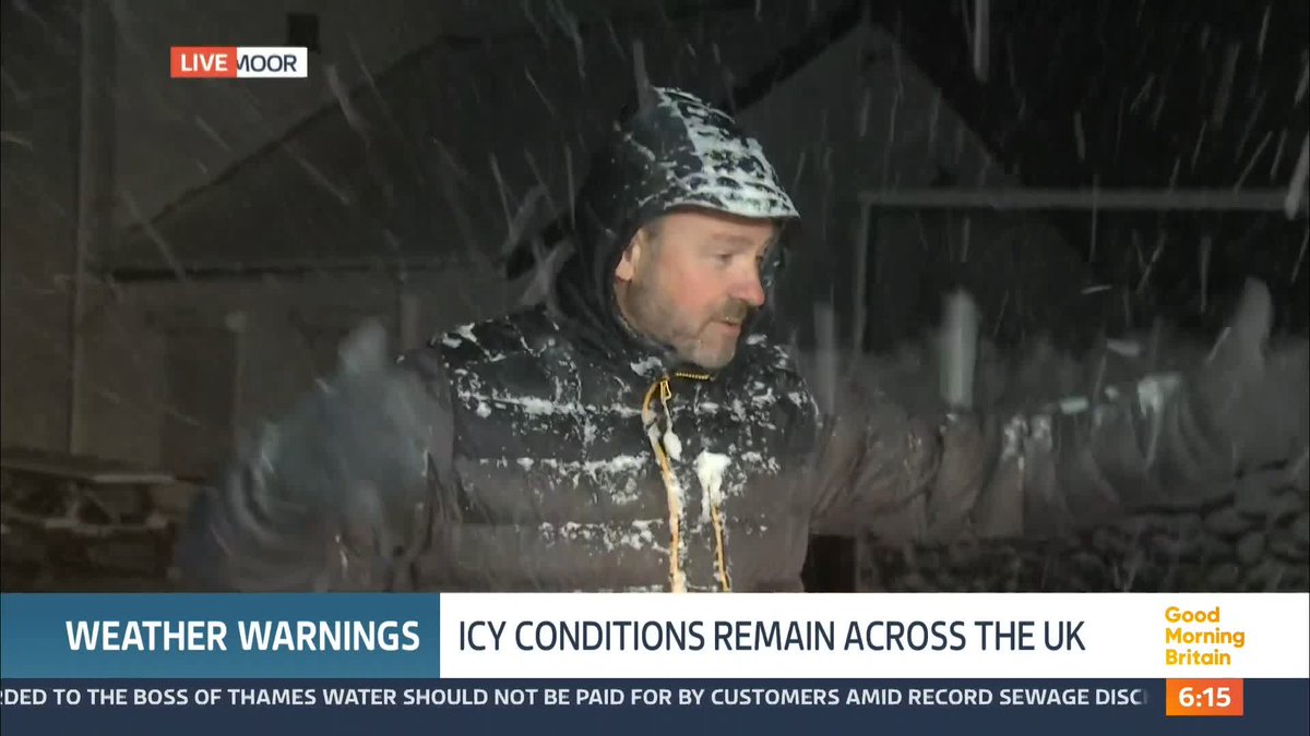
❄️ By definition this will be a Bomb cyclone, and it now looks to become a paralyzing coastal #blizzard for New England, Long Island, and perhaps coastal New Jersey and New York City. Many will receive over a foot of snow Sunday into Monday. Coastal gusts in SE New...

200,271 次观看 • 4 个月前 •via X (Twitter)

0 条评论

暂无评论

原始帖子的评论将显示在这里

相关视频

⚠️I’ve been watching this Storm like a HAWK. I know this setup inside and out. There’s no way to sugarcoat it. This Winter Storm is unlike anything I've seen in long time. ⬇️ Here are the facts: 🌎 This is an absolutely MASSIVE storm, spanning over 2,000 miles. Snow and Ice will be falling in Mexico at the same time it’s falling in New York. 🌨️ Widespread Snow Totals of 8–12 inches or more will bury large portions of the country, from Oklahoma City through New York City. Some locations will get EVEN MORE Snow, approaching a foot and a half of in spots. 🧊 Catastrophic Ice Accumulations of up to 1 inch or MORE are possible in parts of the South, enough to cripple infrastructure and overwhelm the power grid. 🥶The combination of Heavy Ice and prolonged Frigid Temperatures creates a dangerous situation, especially in Texas, Mississippi, Louisiana, Tennessee, and parts of the western Carolinas, where power outages are likely. 🧊 SEVERAL inches of Sleet may also fall in a narrow corridor from Oklahoma through New Jersey, piling up on roads like a mega hailstorm. 🚗 Travel will become difficult to IMPOSSIBLE, and in some areas remain impassable for days, due to deep Snow, Ice, and Sleet. ⏱️ This is a LONG DURATION Winter Storm: ⬇️Friday: Worst conditions begin in Texas ➡️Saturday: Impacts spread into the Tennessee and Ohio Valleys ➡️Sunday: The storm shifts east into the Southeast, Mid Atlantic, and Northeast, where heavy Snow is likely This post is not meant to scare you. It’s meant to prepare you. This is a weekend to hunker down, bundle up, find a good book, and STAY HOME. 👊 I’m with you all the way, my brotheren

Brady Harris

420,885 次观看 • 5 个月前

***SIGNIFICANT SNOW EVENT FRIDAY*** 2ND CALL UPDATED MAP TO INCLUDE 10"+ TOTALS Merry Christmas everyone! I've had some time to review the new data and the storm is basically behaving just as I initially thought. There are a few revisions to my 1st call from yesterday morning to account for HIGHER SNOW RATIOS over NW NJ/Hudson Valley and to move the 6-10" zone into NYC. ZONE 1 – 6–10" OF SNOW This is the zone where cold air damming will be most prevalent, allowing snow to remain all snow for the duration of the event. Expect higher snow ratios, which could allow many areas to push toward double-digit totals, especially under any persistent banding. The pink area of 10"+ accounts for a MUCH higher snow ratio at the start and duration of the storm. This will allow for higher elevations to see many locations pick up 10"+ ZONE 2 – 4–6" OF SNOW This zone will likely start with heavy, wet snow, before transitioning to a lighter, fluffier snowfall as colder air works in. Some compaction is expected with lower snow ratios at times, but additional snow and mesoscale banding could still drive totals toward or above 6" in spots. ZONE 3 – 2–4" WITH MIXING This zone remains VERY uncertain. Everything south of 195 in NJ has a high chance to flip to heavy sleet and rain during convective bandings. I could make a strong argument that cold air advection dominates a tad longer creating an over performer, keeping this mostly snow with sleet mixed in and allowing totals to reach 4–6". However, low-level warm air transport on an easterly wind may introduce sleet, especially along the Jersey Shore (east of GSP) would eat into accumulations. I’ll be watching trends closely as this is shaping up to be a sharp cutoff storm where small shifts could have big impacts.

Mike Masco

934,180 次观看 • 6 个月前