Loading video...

Video Failed to Load

Go Home

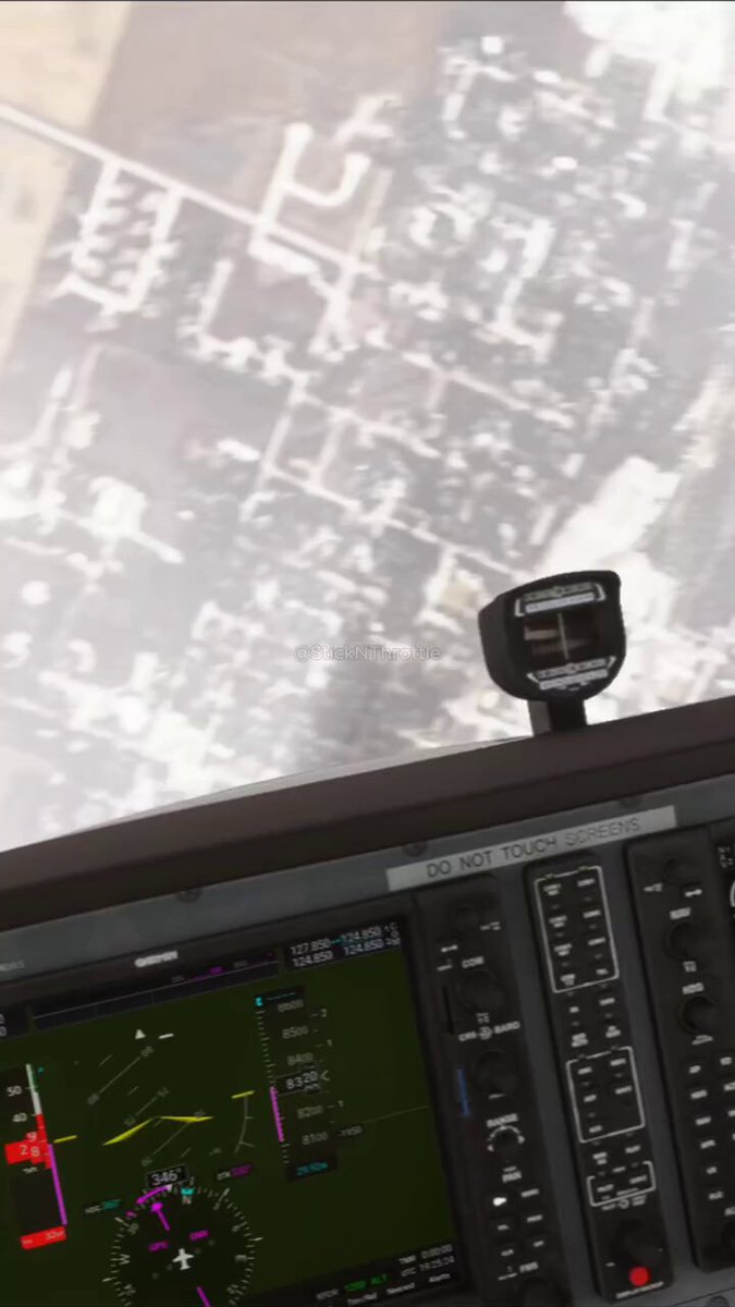
Google has added its flight simulator to the web version of Google Earth, making it available to all users worldwide. >The feature runs directly in any modern browser at with no downloads or installations required. >Users can open the simulator from the Tools menu after selecting Explore and pilot...

100,468 views • 3 months ago •via X (Twitter)

33 Comments

dark's profile picture
dark3 months ago

give it a week and we all know where people's most flown city is.

Jerome's profile picture
Jerome3 months ago

oops

popmanbrad's profile picture
popmanbrad3 months ago

I swear this used to be a feature we had years ago I remember using this in like 2011 when I was bored

Britishpatriot's profile picture
Britishpatriot3 months ago

Kinda reminds me of the old hidden Windows flight sim for some reason. Back when Windows was cool and good and not lame and shite. More things should have flight sim addons.

𝘐𝘸𝘢𝘯 ꒽ꄲ's profile picture
𝘐𝘸𝘢𝘯 ꒽ꄲ3 months ago

This feature is like 10 years old minimum

✪ naaskicker 🇩🇿 ︽'s profile picture
✪ naaskicker 🇩🇿 ︽3 months ago

I use to do this in 2005 on Google earth website, how is this now is a new thing.

Claim Craze's profile picture
Claim Craze3 months ago

We’re officially at the point where you can casually call in sick and go fly over the entire planet in your browser

x13lackcat🌲👾🎧🔧's profile picture
x13lackcat🌲👾🎧🔧3 months ago

I crashed the plane hmm... lmao

B06DAN 🟥's profile picture
B06DAN 🟥3 months ago

Dizzy that makes me ;]

HectorE's profile picture
HectorE3 months ago

While Chrome’s RAM usage:

Femboy Feline ❤️🖤❤️'s profile picture
Femboy Feline ❤️🖤❤️3 months ago

May try this

lewis🔜Dreamhack 2027's profile picture
lewis🔜Dreamhack 20273 months ago

@TheEmoViking

techVector's profile picture
techVector3 months ago

Finally! Been waiting for this to hit the browser version. Way easier than downloading the old desktop app just to fly around the Grand Canyon.

Defi-Rity 🩷🩵's profile picture
Defi-Rity 🩷🩵3 months ago

Ok, Taken ✨💯

Kaisen's profile picture
Kaisen3 months ago

More people need this

michele 🏴‍☠️'s profile picture
michele 🏴‍☠️3 months ago

Pretty cool, but unfortunately doesn't seem to be available for me (?)

Defi-Rity 🩷🩵's profile picture
Defi-Rity 🩷🩵3 months ago

Thanks for the information Noted 💯

M.Eric Daniel's profile picture
M.Eric Daniel3 months ago

Great

Panda's profile picture
Panda3 months ago

Gonna use up so much RAM.

Defi-Rity 🩷🩵's profile picture
Defi-Rity 🩷🩵3 months ago

Ok, well noted ✨👌

Stephen's profile picture
Stephen3 months ago

This is a really cool idea, I might need to check this out.

🐝 bee 🐝 bee 🐝 bee 🐝 bee 🐝 bee 🐝 bee 🐝 bee's profile picture
🐝 bee 🐝 bee 🐝 bee 🐝 bee 🐝 bee 🐝 bee 🐝 bee3 months ago

free terrorist training

Wigglesworth's profile picture
Wigglesworth3 months ago

What are the controls? Cause it would only let me use the mouse.

Stunlokked's profile picture
Stunlokked3 months ago

how do you go faster? how do you reset tilt @googlemaps

NOTDRVNG's profile picture
NOTDRVNG3 months ago

I tried it before. Did nothing

Deathsarus's profile picture
Deathsarus3 months ago

Can we fly in the past?

R4DI 4RT's profile picture
R4DI 4RT3 months ago

In this simulator, will I also be shot down over Ukraine or Strait of Hormuz ?

M.Eric Daniel's profile picture
M.Eric Daniel3 months ago

Cool

Defi-Rity 🩷🩵's profile picture
Defi-Rity 🩷🩵3 months ago

That's so great 👍👍👍💯

Tseng's profile picture
Tseng3 months ago

Hardly a simulator the way they can do loops lol

TravisToastLord's profile picture
TravisToastLord3 months ago

Daggerfall if Daggerfall was made today

Academy of Automagic 🔮's profile picture
Academy of Automagic 🔮3 months ago

Startup idea: add some other planes and fight system to this so you can have a dogfight on your neighborhood

M.Eric Daniel's profile picture
M.Eric Daniel3 months ago

Nice

Related Videos

GeoLibre v2.1 is here! GeoLibre is a free and open-source, lightweight, cloud-native GIS platform for visualizing, exploring, and analyzing geospatial data. It runs everywhere you do, in the web browser, on the desktop, on mobile, and inside Jupyter notebooks, all while keeping your data local and private. This release adds a QGIS-style Browser panel for exploring data from one place, animated route playback with video export, Wikipedia knowledge cards, and Mapillary street-level images. What's new in v2.1.0 - Browser panel (Data Source Manager): explore and add data from one place. Browse map services, connect to PostGIS databases and drill into their schemas and tables, open local files, and save Favorites, all with full keyboard navigation. - Route animation: send a marker along any line layer, follow the track in 3D with camera controls, and export the whole animation as an MP4 video. - In-browser object detection: run ONNX/YOLO models directly in the webview, with no server or Python required. - Map recording: capture the map canvas, or a drawn bounding box, straight to a video file from the browser. - Native-resolution photo viewer: view geotagged photos at full detail right on the map. - Wikipedia knowledge cards: click any place to pull up its Wikipedia summary and info card. - More planetary basemaps: USGS imagery for nine more celestial bodies, plus a new OpenAerialMap imagery search plugin. Try it out - Live demo: - GitHub: - Documentation: - Release notes: #GIS #Geospatial #OpenSource #RemoteSensing #DataVisualization #MapLibre #GeoLibre

Qiusheng Wu

12,291 views • 2 months ago