正在加载视频...
视频加载失败
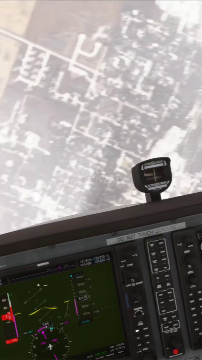
Google has added its flight simulator to the web version of Google Earth, making it available to all users worldwide. >The feature runs directly in any modern browser at with no downloads or installations required. >Users can open the simulator from the Tools menu after selecting Explore and pilot... show more

33 条评论

give it a week and we all know where people's most flown city is.

oops

I swear this used to be a feature we had years ago I remember using this in like 2011 when I was bored

Kinda reminds me of the old hidden Windows flight sim for some reason. Back when Windows was cool and good and not lame and shite. More things should have flight sim addons.

This feature is like 10 years old minimum

I use to do this in 2005 on Google earth website, how is this now is a new thing.

We’re officially at the point where you can casually call in sick and go fly over the entire planet in your browser

I crashed the plane hmm... lmao

Dizzy that makes me ;]

While Chrome’s RAM usage:

May try this

@TheEmoViking

Finally! Been waiting for this to hit the browser version. Way easier than downloading the old desktop app just to fly around the Grand Canyon.

Ok, Taken ✨💯

More people need this

Pretty cool, but unfortunately doesn't seem to be available for me (?)
Thanks for the information Noted 💯

Great

Gonna use up so much RAM.
Ok, well noted ✨👌

This is a really cool idea, I might need to check this out.

free terrorist training

What are the controls? Cause it would only let me use the mouse.

how do you go faster? how do you reset tilt @googlemaps

I tried it before. Did nothing

Can we fly in the past?

In this simulator, will I also be shot down over Ukraine or Strait of Hormuz ?
Cool
That's so great 👍👍👍💯

Hardly a simulator the way they can do loops lol

Daggerfall if Daggerfall was made today

Startup idea: add some other planes and fight system to this so you can have a dogfight on your neighborhood
Nice


![✨ Today I thought what if I ask Cursor to build a flight simulator So I asked "make a 3d flying game in browser with skyscrapers" And after many questions and comments from me I now have the official [ ✈️ Pieter .com Flight Simulator ] in vanilla HTML and JS It's in my beach town, so there's a runway, land, a cliff and a beach Now gonna improve it, but it works already, link in reply:](https://image.24vids.com/tw-1893350391158292550/ext_tw_video_thumb/1893349175338631168/pu/img/9avJ3XfYl_-0Z8Am.jpg)