Video yükleniyor...
Video Yüklenemedi
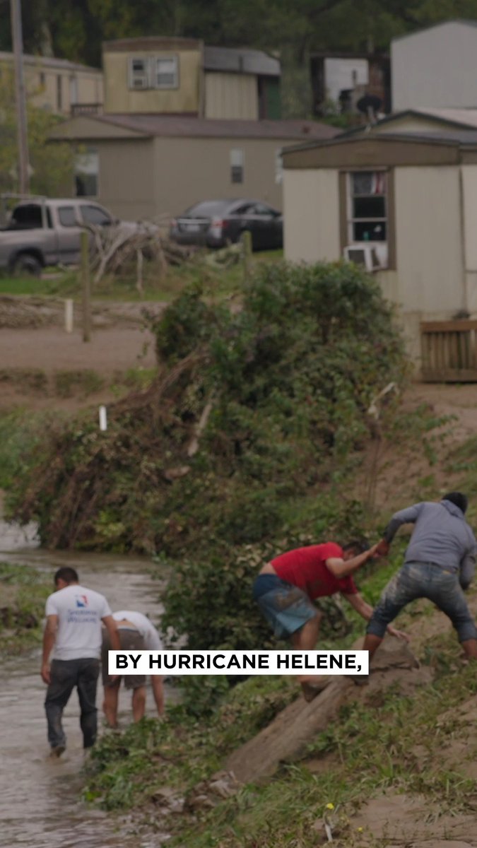
I've created a pre- and post-Helene imagery comparison viewer for Buncombe County using imagery made public by Buncombe County Gov. 🔗:

31,032 görüntüleme • 1 yıl önce •via X (Twitter)
11 Yorum

Jeff Halsey1 yıl önce
@buncombeGov This is insanely detailed! Great job evan!

Evan Fisher1 yıl önce
Thank you, Jeff! I'm thankful to have finally found a source of high-res imagery

Vance Ginn1 yıl önce
Imagine a government where big government doesn't burden your future with excessive spending, taxes, and regulations. Here's how... 👇

Kyle J Gillett1 yıl önce
@buncombeGov 🐐

George "fill it, buster" Ladshaw1 yıl önce
@buncombeGov This is awesome, thanks Evan!

Greg Huff1 yıl önce
@VladTheInflator @buncombeGov Oof

HokiePolkie1 yıl önce
@buncombeGov People who've never been to the area don't realize it takes 2-3 hours to drive around. It's a huge landmass.

UpInTheseHills1 yıl önce
@buncombeGov Ty!

MommaG1 yıl önce
@buncombeGov That's heartbreaking. Great job.

Jayden Vogler1 yıl önce
@buncombeGov Thank you for creating this! Do you know if Henderson County plans to provide imagery like this?

Jason Sandford1 yıl önce
@buncombeGov Thank you!