Загрузка видео...
Не удалось загрузить видео
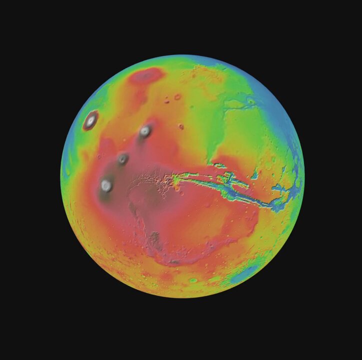
I've gotten contour and latitude / longitude lines working with ellipsoidal tile sets in 3D Tiles Renderer - demo link below! 🌎✨ #threejs #webgl #3dtiles #gis #cesiumgrant
40,395 просмотров • 1 год назад •via X (Twitter)
Комментарии: 11

Check "displayTopoLines":

Fewer bugs, more shipping. Qodo’s Agentic AI handles testing, reviews, and code generation—so you can focus on building.

You're so inspiring!

I kid you not, one day it's gonna zoom to subatomic level!

This is PERFECT man! Congratulations 😍. It will be so helpful 🤯

It's Open source?
Source for the topo lines shader is here. The rest of the repo contains the rendering logic for 3d tiles and other tiled formats:

does it connect with react-three-fiber? :O
You can see some documentation on how to use the tiles renderer with r3f here:

Do you use Bing Aerial as a base? I am also building the Globe and Solar system interactive system with Three.js
This is using Google Photorealistic Tiles. As far as I understand, the Bing maps services is going to be retired so I don't have any plans to support it: