Загрузка видео...

Не удалось загрузить видео

На главную

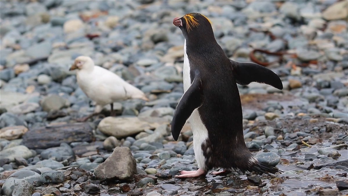
.NOAA satellites are always watching from above, tracking dangerous severe weather and #lightning. This information helps forecasters issue earlier warnings and keep communities safe. Learn more about the Geostationary Lighting Mapper (#GLM) instrument on board NOAA's GOES satellites:
11,056 просмотров • 2 месяцев назад •via X (Twitter)

Комментарии: 0

Нет доступных комментариев

Здесь появятся комментарии из оригинального поста

Похожие видео

🚨 A SATELLITE JUST REVEALED SOMETHING SHOCKING: GPS JAMMING IS FAR MORE WIDESPREAD THAN ANYONE REALIZED. An experimental navigation satellite called Pulsar-0, flying just 500 km above Earth, has mapped GPS signal tampering from space for the first time and the scale surprised even the engineers who built it. As soon as the satellite passed over Europe and parts of the Middle East, its GPS receiver showed massive signal degradation. In the worst areas, signal strength dropped from a normal 40 decibels all the way down to just 10 decibels. Why this matters: • Ground-based jammers (used in conflicts like Ukraine and the Middle East) are now reaching all the way into low Earth orbit • Satellites like Starlink that rely on GPS for collision avoidance and positioning are being affected across a huge region from France to the borders of Pakistan • When GPS drops out, satellites can’t accurately point their antennas, maintain formation, or safely maneuver • This isn’t just a military problem it threatens the growing network of commercial satellites we increasingly depend on The deeper implication: We’ve long known that GPS signals on the ground can be jammed. What we didn’t fully appreciate is how far those jamming signals reach into space. Even satellites in low Earth orbit the backbone of global communications, Earth observation, and future mega-constellations are now operating in an increasingly hostile electromagnetic environment. Xona’s upcoming constellation aims to fix this with signals 100 times stronger than traditional GPS. But the bigger question remains: as more nations and groups weaponize jamming and spoofing, how resilient will our orbital infrastructure actually be? How concerned are you that GPS jamming is now reaching into space and affecting satellites? Follow for more frontier space technology and the hidden vulnerabilities of our orbital systems.

TheNewPhysics

50,100 просмотров • 1 месяц назад

Why Having a Satellite Network is So Important In 2023, the Russians were about to close a deal with a certain North Korean MLRS, but the deal fell through exactly because the North Koreans, +20 years ago, had revolted against Russian opposition to their nuclear program and switched from GLONASS to BeiDou. Only few years ago, the NK returned to Glonass and started converting their equipment to work with dual GNSS guidance. But why did the deal sour? Because the Chinese did not authorize the use of their satellites in the Ukraine conflict. The same problem occurred with the Belarusian POLONEZ MLRS, which uses missiles based on Chinese technology. Today, Iran has switched from GPS to BeiDou, aiming for greater resistance to jammers and integration with Chinese systems. This shows that a missile program is much more than the missiles themselves. It is necessary to have one's own constellation, even if it is strictly military and regionalized, with resources for monitoring and target acquisition, in addition to the ability to deal with jammers and spoofers. When I mentioned Iran and BeiDou, it is the beginning and serves as a gateway that enables integration with Chinese networks, provided the Chinese decide to allow it. However, it is essentially a massive gateway, with numerous smaller, more specialized sub-channels operating underneath. For targeting moving objects, Iran would need to receive data from the Guowang or Yaogan networks. In the last six months, the Chinese could have provided partial integration. At this stage, since the Iranians are conducting their ISR primarily with drones, I believe the Chinese are not sharing data from the LEO satellites in those networks. Iran also has its own satellites, but the Chinese network is far more mature and likely equipped with a wide array of integration and data-sharing tools. While the Chinese are providing intelligence to Iran, I believe they are prudent in doing so to preserve the relationships they have built with other Arab states. At this moment, I believe that the sharing of intelligence from satellites isn’t in real time. For a country like Iran, it is crucial to have GNSS independence with its own program. The same applies to other medium-sized countries, which need at least an LEO constellation capable of providing the minimum ISR, and this is linked to security, but also a series of other factors. I'll give a practical example here. Drones usually lose link with 50% of their range in the Amazon due to weather conditions. With an LEO constellation, this would not occur. Today, to have independence, a constellation project is necessary.

Patricia Marins

19,508 просмотров • 6 месяцев назад

Did you know that in 1947, GE (General Electric) scientists were involved in a secret government program called Project Cirrus that seeded hurricanes to steer them? After seeding, the hurricane took an immediate sharp turn towards the southeast US. They did this 80 years ago... Did you also know there was another program called Project Stormfury from 1962-1983 that seeded hurricanes to a substantially higher degree to "learn whether the force of the storms can be diminished"? It's completely rational to think that they also learned more about how they can impact their trajectory towards landmass and increase it's destructive power. What if the government is just creating a human trauma farm and disaster economy so they can continue to make you more and more reliant on them and profit from it at the time? If still you're struggling to comprehend that kind of malice from these orgs, you must have been dead asleep for the past 4 years. To quote Richard Spinrad from a 2009 memo to HSARPA, who was the National Oceanic and Atmospheric Administration’s (NOAA) assistant administrator for the Office of Oceanic and Atmospheric Research (OAR). "While OAR recognizes that weather modification, in general, is occurring through the funding of private enterprises, NOAA does not support research that entails efforts to modify hurricanes" Read this part very slowly - "is occurring through the funding of private enterprises" Geoengineering and weather modification is reality and you have to be blind or dishonest not to believe it at this point. The government can create, diminish, and steer hurricanes, and they've had the capacity to do so for decades. So yet again, you must now ask yourself... Would they do such a thing and willfully cause destruction and harm to their own citizens for a nefarious or profit motivated purpose? The answer is a resounding and undeniable YES, they would.

Inversionism

1,579,908 просмотров • 1 год назад