Video wird geladen...
Video konnte nicht geladen werden
What Likely Happened on 26 August: A Terrain-Based Assessment. The disaster originated on the Nepal side, on the north face of Langtang Lirung inside Langtang National Park. Satellite imagery suggests this was not simply a glacier calving event but a large bedrock slope failure that carried part of the... show more

60,318 Aufrufe • vor 1 Monat •via X (Twitter)
14 Kommentare

I agree with everything except lake formation. If you have noticed the timing, rock failure happened at 8:37 and reached the customs office at 8:45. Travelled 20 km in mere 7-8 mins ? when did the pool actually form in this 8 min? discharge in lhende river is not even that huge.

Good point. One clarification: 08:37 came from the initial USGS seismic/“earthquake” report, not from imagery showing the exact moment of slope failure. We currently don’t have that timing. That’s why I kept two possibilities open: debris temporarily blocked the channel and created a pool that breached, or the ice-rock-water mass propagated downstream more directly. Without time-resolved imagery, I don’t think we can yet establish whether a significant pool formed, or the downstream travel time.
yes, I agree with both case scenarios. Im not an expert on this. I have come across another theory. What if there was a small collapse earlier, which blocked the river for significant time, formed the lake then the 8:37 collapse happened.
Please explain.
It is not a small collapse; look at the large grey matter further down.
I am not saying it is a small collapse. I know the size of collapse. My theory is what if there was a small collapse hours before, formed a big pool then the final collapse happened. we only know the final size of collapse there could be multiple small collapses earlier.

What is really scary is this is happening to the 5000m elevation ice... Now as more heat is produced in the world and this begins to go up to the median 6000 metres area where the peaks of the Himalayas rise from, then the events will get even worse. In 100 odd years the water to our great rivers will reduce.
We need to measure, map, monitor and predict as close as possible, sir

Seen this ? DEWS?

What really happened in #Nepal on August 26? @prof_nithiya breaks down how the devastating #NepalFloods may have been triggered. #Watch

How come no one noticed river blockage? Blocked river will result in significant reduction in water flow downstream.

Water was freed on the way

The images are clear. It was a massive land slide. The glacier is cut along the line of the bedrock, which indicates that the rockfall took that part of the glacier and not the other way around.

The "striking the Gyirong border checkpoint on the Chinese side" is sort of incomplete. It wiped out everything on both sides of the checkpoint. People have more impression about Chinese side only because there were videos transmitted from there.


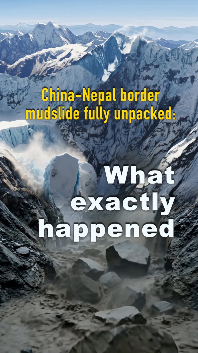


![Scientists now believe the catastrophic flash flood on the Nepal-China border that left more than 353 people dead and over 1,300 still missing was caused by a 2,000-foot-wide chunk of ice that broke off a glacier and fell to the valley below. This is known as a glacier collapse. The immense block of ice plummeted 4,000 feet down, pulverizing on impact and mixing with mud and rocks to create a fast-moving, 250-foot-tall wall of debris that tore through riverside settlements at speeds of 44 mph. The sheer force of the landslide was so immense that it generated a 5.2 magnitude earth quake. [The initially video I shared, which has been taken down was from a different glacier collapse that occurred in Chile].](https://image.24vids.com/tw-2092945950721355966/amplify_video_thumb/2092945925165428736/img/RwRFwNpdDin4DqMe.jpg)


