
NOAA Satellites
@NOAASatellites • 1,451,772 subscribers
The NOAA Satellite & Information Service (referred to as NESDIS) is a line office of @NOAA.
Shorts


Videos

Loggerhead sea turtles 🐢 don’t just migrate willy-nilly. As it turns out, they follow a narrow band of ideal chlorophyll and heat levels—which stretches across the Pacific and moves north and south with the seasons! In honor of #WorldSeaTurtleDay, see how data collected from tagged turtles and NOAA’s #satellites reveals this migration pattern!
NOAA Satellites562,245 views • 1 month ago

South Korea's #GeoKompsat2A 🛰️ captured #Bavi’s growth from a tropical storm into a super typhoon over the five days leading up to this #TimeLapseTuesday. This infrared imagery shows the transformation as Bavi travelled over the western Pacific Ocean and into the Philippine Sea.
NOAA Satellites30,091 views • 12 days ago


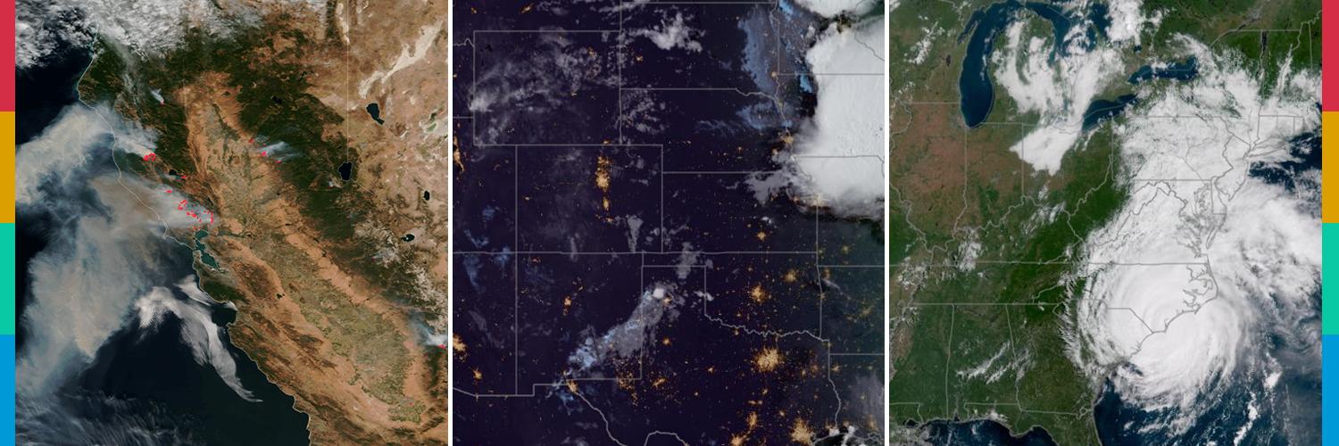
.NOAA’s #satellites are monitoring significant #wildfires that broke out across the western U.S. last month and continue to burn. One of the wildfires—known as the #CottonwoodFire—has burned over 93,000 acres, making it among the most destructive wildfires in Utah’s history, and the largest one burning in the U.S. today. Learn more in this week’s #EarthFromOrbit video:
NOAA Satellites12,093 views • 17 days ago

There’s a lot happening weather-wise across the country this #TimelapseTuesday! 🌎⛈️ Enhanced color imagery from NOAA’s #GOESEast (#GOES19) 🛰️ highlights temperature and moisture characteristics of air masses moving across the U.S. yesterday through today. What’s the weather like in your area?
NOAA Satellites22,860 views • 1 month ago


Happy #EarthDay from NOAA Satellites! 🌎 Since 1970, our satellites have watched over our planet, capturing its beauty and power from above. 🛰️ For #EarthDay2026, we celebrate our stunning, dynamic home—and the science that helps us better understand and protect it. See our world from a different perspective in our #EarthFromOrbit video: #EarthDayNOAA
NOAA Satellites22,642 views • 2 months ago

Happy launch-iversary, GOES-U! 🚀🛰️ One year ago today, we watched as #GOESU, the final satellite in NOAA’s GOES-R Series, soared into space from NASA's Kennedy Space Center. How time (and satellites) fly! Renamed #GOES19 once in orbit, it's keeping watch over the Western Hemisphere from above the Atlantic. Learn what GOES-19 has been up to:
NOAA Satellites53,708 views • 1 year ago

Happy #EarthDay! 🌎 From high above us, NOAA's satellites continually provide vital weather and environmental information about our dynamic planet. For NOAA, every day is Earth Day. 🛰️ Take a look back at our world since last April 22 in this #EarthFromOrbit video:
NOAA Satellites55,618 views • 1 year ago

Yesterday marked the #AutumnEquinox, signaling the official start of astronomical #fall in the Northern Hemisphere! Over the past year, we've gathered a daily image from NOAA's #GOESEast 🛰️, taken at the same time each day. Together, they show the sun's angle shift over time due to the Earth's tilt, resulting in the changing seasons.
NOAA Satellites72,662 views • 1 year ago

For #TimelapseTuesday, we are looking at rounds of #SaharanDust blowing westward from Africa. This imagery from NOAA's #GOESEast (#GOES19) 🛰️ tracks the dust for more than a week during its journey across the Atlantic Ocean. Why does NOAA track Saharan dust? Learn more here:
NOAA Satellites16,952 views • 3 months ago


For #TimelapseTuesday, we're showing how NOAA's #GOESWest 🛰️ tracked California's massive #ParkFire over the course of four and a half days. You can see how GOES West caught the first heat signature of the #wildfire before it grew explosively to more than 380K acres.
NOAA Satellites61,839 views • 1 year ago


.NOAA's newest #GOES19 🛰️ is now watching #lightning over the Western Hemisphere via its Geostationary Lightning Mapper (#GLM) instrument! It recently tracked powerful storms, including Hurricanes #Helene & #Milton, helping forecasters monitor intensity, tornado threats and improve flight safety. 🌩️
NOAA Satellites41,316 views • 1 year ago

